What is recorded here
Childrens Burial Ground occupies the northeast quadrant of an ancient Galway enclosure, measured at eighteen by ten metres on old survey maps. No stones or markers break the grass now, yet the separate boundary suggests adults once believed small lives deserved their own resting place rather than mixing with the general dead. That exclusion still echoes in the empty rectangle, preserving a tenderness bigger than the children themselves.
Within the NE quadrant of an enclosure (GA097-072----). Marked on the 3rd edition of the OS
6-inch map as an unenclosed rectangular area (c. 18m N-S; c. 10m E-W) and named 'Children's Burial Ground. No visible surface trace of any grave-markers survive.
Compiled by: Galway Archaeological Survey, UCG
Date of upload: 19 February 2019
The monument record does not grant public access. Check the route and ask the landowner before entering private land.
- What survives
- Recorded monument
Places near here
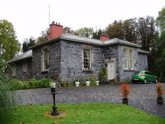 Rathville Housecountry house · 213 yd
 Dunsandle Railway Stationrailway station · 1347 yd
 Enclosure in Carrowkeel (athenry By.)Enclosure · 1.0 mi
 Settlement cluster in Carrowkeel (athenry By.)Settlement cluster · 1.1 mi
 Galboley Castle (in ruins)Castle, unclassified · 1.4 mi
 Turoe StoneHeritage attraction · 1.6 mi
 Castle (in ruins)Castle, tower house · 2.9 mi
 Barrack IslandIslet · 5.1 mi
 Middle IslandIslet · 5.2 mi
 Woodlawn WoodsForest · 5.5 mi
 Dartfield Horse MuseumHeritage attraction · 5.6 mi
 European Crab AppleEuropean Crab Apple · 5.9 mi