
What is recorded here
On S-facing slope immediately above dip into river valley. Roughly D-shaped area enclosed on straight W side by field boundary and defined N->S by scarped edge (H 0.55m). Uneven interior under grass, but no evidence for burial plots. According to local tradition last burial here in 1922 and previously was used as 'famine' burial ground. Not depicted on 1841 OS 6-inch map.
Compiled by: Denis Power
Date of upload: 26 August 2011
A local ancient tomb; wider significance not recorded.
The monument record does not grant public access. Check the route and ask the landowner before entering private land.
- What survives
- Recorded monument
Places near here
 Enclosure in Caher (connell)Enclosure · 410 yd
 Fulacht fia in Caher (connell)Fulacht fia · 745 yd
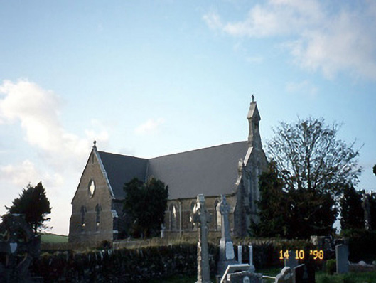 Saint Carthage's Catholic Churchchurch/chapel · 1.6 mi
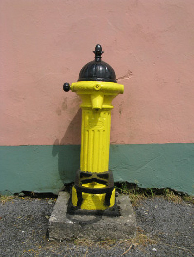 water pumpwater pump · 2.1 mi
 Three CountiesPicnic place · 3.6 mi
 Purt CastleCastle · 4.8 mi
 Barnagh HillMountain / peak · 5.2 mi
 KnockateeMountain / peak · 6.3 mi
 TobereenalaffinaSpring · 6.6 mi
 Kilmurry CastleCastle · 8.3 mi
 Crag CaveCave · 9.2 mi
 John B. KeaneMemorial · 11 mi
Other information
Photo: Credit not shown in the picture search · Rights wording not checked; contact us if this picture should be removed