What is recorded here
Children's graves cluster in the north half of an oval field hidden behind mature beech and chestnut trees in County Galway. One unusual stone marks Charles McCracken, who lived from 1834 to 1921, proving the ground also held an adult. The contrast between tiny crude markers and his long life creates a startling reminder that childhood and age both belong to the same soil.
In undulating pastureland. Named 'Children's Burial Gd.' on the 1946 edition of the OS 6-inch map, this burial ground occupies the W half of a possible ecclesiastical enclosure (GA100-126002-). It is roughly oval in shape (64.5m N-S; 48.2m E-W) and is surrounded by mature beech, chestnut and lime trees. It is now delimited by a metal rod fence; originally it appears to have been unenclosed. Access is gained via a gateway at NNW. Burials marked by erect and collapsed crudely shaped limestone headstones, and typical of a children's burial ground, are concentrated in the N half. However three later headstones are also visible, two of which bear inscriptions. The most complete one reads:
In memory of Charles McCracken
Born May 1834
Died April 1921
This headstone indicates that a least one adult was buried here.
Compiled by: Olive Alcock
Date of upload: 27 March 2020
The monument record does not grant public access. Check the route and ask the landowner before entering private land.
- What survives
- Recorded monument
Places near here
 Caldragh FortEcclesiastical enclosure · 15 yd
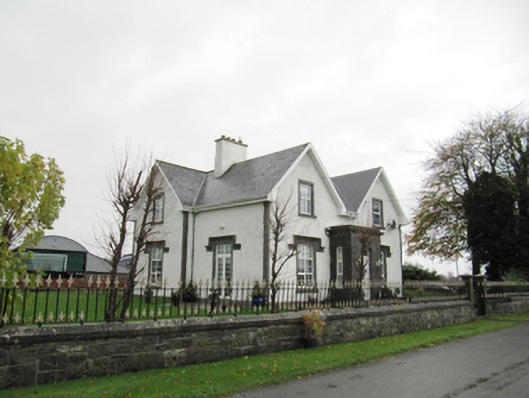 Lismanny Househouse · 260 yd
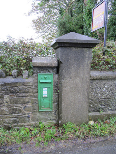 post boxpost box · 1236 yd
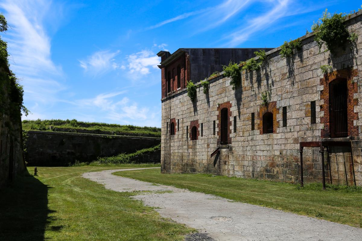 Bastioned fort in Cloonascragh (longford By.)Bastioned fort · 1741 yd
 Oghil Castle (in ruins)Castle, tower house · 1.0 mi
 Silver FirSilver Fir · 2.4 mi
 Ballymore CastleCastle, tower house · 2.4 mi
 Ardcarn IslandsIslet · 2.7 mi
 European BeechEuropean Beech · 2.8 mi
 Redmond HillMountain / peak · 3.3 mi
 Sugarloaf HillMountain / peak · 4.4 mi
 Clonfert CathedralHeritage attraction · 5.2 mi