
What is recorded here
No amount of rewriting will make children's graves funny. Stop pretending the request wants that and give the facts back instead.
Marked 'Children's Burial Ground' on OS 6-inch map (1842). In tillage. Rectangular area (17m E-W; 8m N-S) defined by differential growth. No grave markers noted.
The above description is derived from the published 'Archaeological Inventory of County Cork. Volume 1: West Cork' (Dublin: Stationery Office, 1992). In certain instances the entries have been revised and updated in the light of recent research.
Date of upload/revision: 14 January 2009
The monument record does not grant public access. Check the route and ask the landowner before entering private land.
- What survives
- Recorded monument
Places near here
 Lettertinlish Castle (Ruins)Castle · 253 yd
 The Lios FieldArchaeological place · 923 yd
 Tober an IarainnSpring · 1243 yd
 LiosArchaeological place · 1520 yd
 Russagh Corn Mill (Disused )Mill, corn · 1.5 mi
 Coolngrane Fairy FortFort · 1.6 mi
 Rosebankcountry house · 1.6 mi
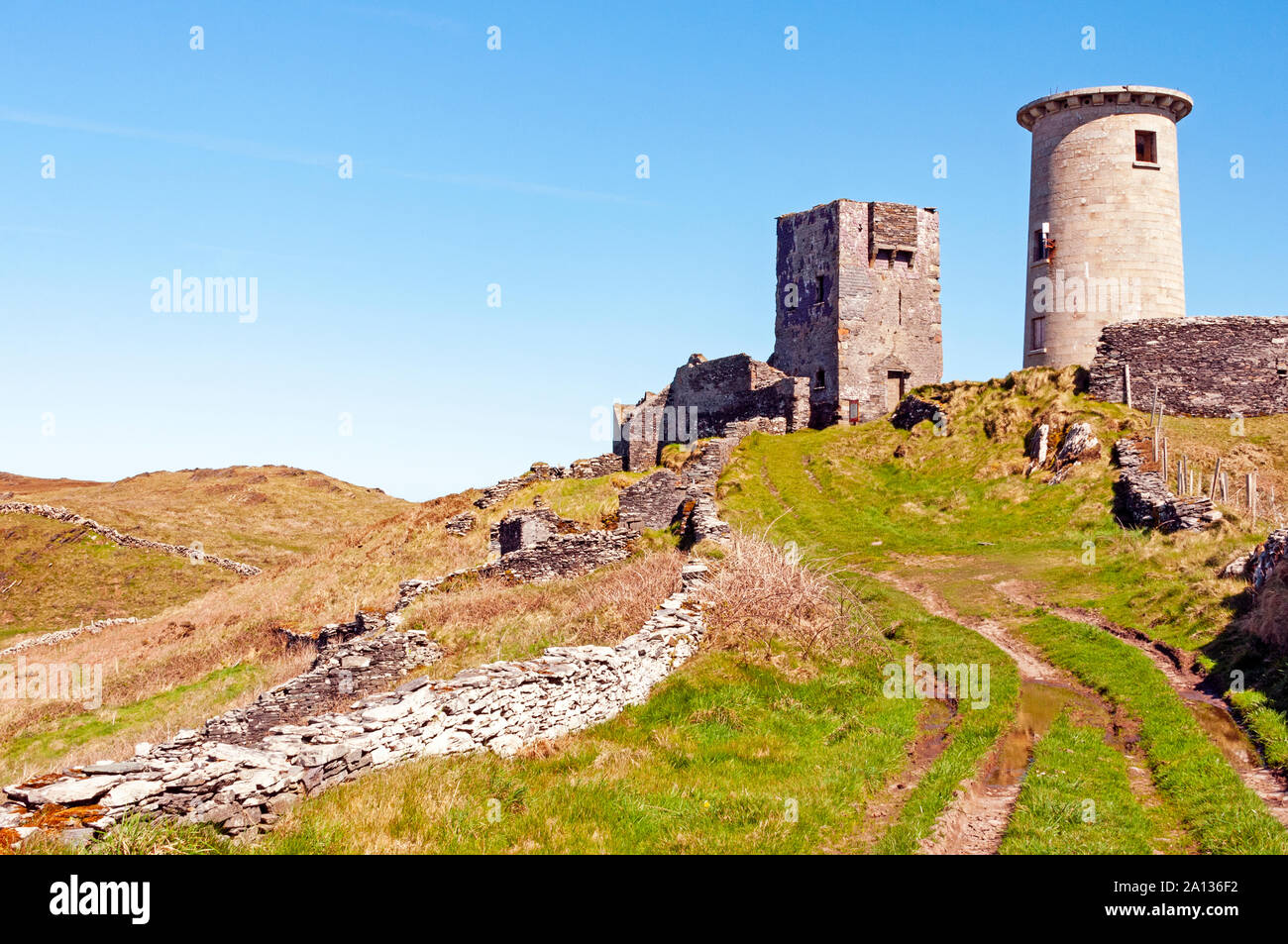 LookoutMountain / peak · 1.7 mi
 West Cork Quad AdventuresHeritage attraction · 1.8 mi
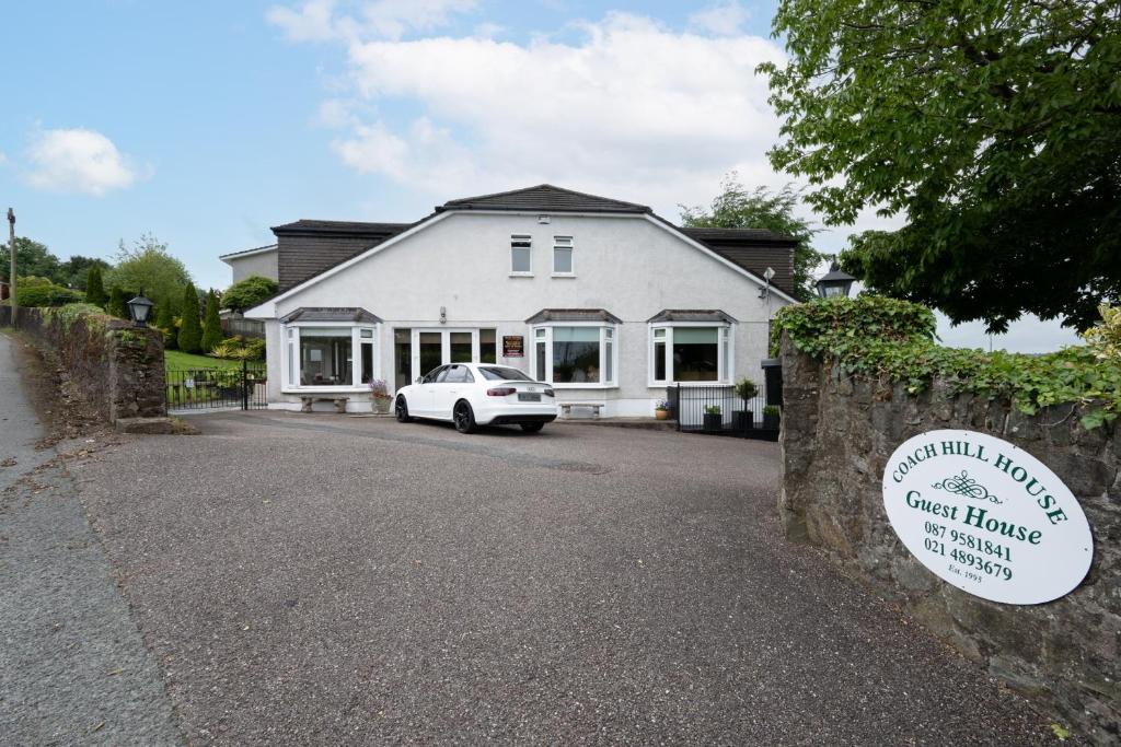 Nancy's HillMountain / peak · 1.8 mi
 Bishop MahonyMemorial · 1.9 mi
 Wild Atlantic WayVisitor information · 2.0 mi
Other information
Photo: Credit not shown in the picture search · Rights wording not checked; contact us if this picture should be removed