What is recorded here
Children's Burial Ground (Disused) lies inside a West Cork ringfort, marked on the 1842 Ordnance Survey map but now hidden beneath thick growth. No stones remain visible, yet the name suggests small bodies were laid to rest where adults might have feared to walk. The forgegence may have been a household tragedy, a seasonal sickness or a belief that children needed their own quiet corner. Forgetting did not erase the arrangement; it only returned the place to grass, silence and the risk of stepping across what was once cherished.
In ringfort (CO122-058001-). Marked 'Children's Burial Ground' on OS 6-inch map (1842). No grave markers noted; heavily overgrown.
The above description is derived from the published 'Archaeological Inventory of County Cork. Volume 1: West Cork' (Dublin: Stationery Office, 1992). In certain instances the entries have been revised and updated in the light of recent research.
Date of upload/revision: 14 January 2009
The monument record does not grant public access. Check the route and ask the landowner before entering private land.
- What survives
- Recorded monument
Places near here
 Enclosure in Sleveen (ibane and Barryroe By.)Enclosure · 423 yd
 Boulder-burial in Letter (carbery East (w.d) By.)Boulder-burial · 824 yd
 Country house in BohonaCountry house · 1398 yd
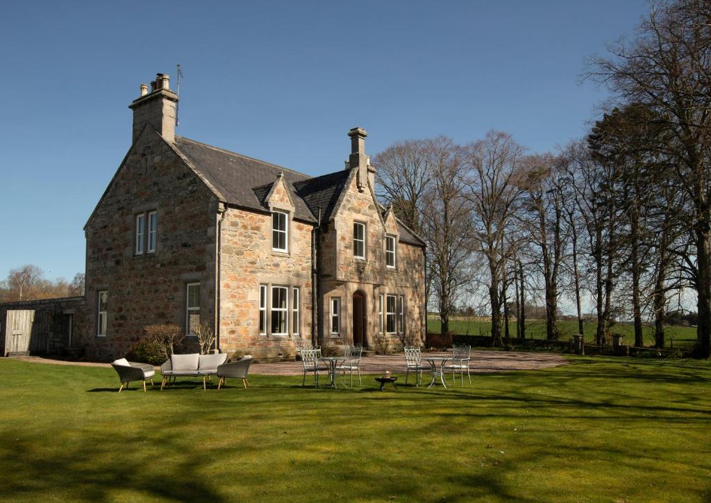 Country house in Letter (carbery East (w.d) By.)Country house · 1422 yd
 Clasharusheen Mansion (Site of)Castle, unclassified · 1.3 mi
 Castle (Site of)Castle, unclassified · 1.5 mi
 Michael Collins BirthplaceHistoric birthplace · 2.8 mi
 Clonakilty Blackpudding Visitor CentreHeritage attraction · 2.8 mi
 Michael Collins MemorialMemorial · 2.9 mi
 Battle of the Big Cross (1798) Memorial MonumentMonument · 3.0 mi
 Cloch na gCoillteMemorial · 3.1 mi
 Corran HillMountain / peak · 3.5 mi