What is recorded here
Twelve metres of forgotten children lie crammed inside a broken rath, their graves marked by set stones aligned east to west. The surrounding earth has been quarried until the ancient boundary barely holds, yet the small burial ground remains visible beneath the scarred soil. Someone kept returning to that narrow strip long after the wider site fell into ruin, perhaps believing the young dead needed a place separate from the adults and the taking of stone.
Within the E sector of a rath (GA098-037----). Marked on the 1933 edition of the OS 6-inch map as a roughly subrectangular area (c. 12m NW-SE; c. 9m NE-SW) and named 'Children's Burial Gd. (Disused)'. The interior of the rath has been heavily quarried and the burial ground is defined by a roughly L-shaped area within which numerous set stones indicate graves aligned E-W.
Compiled by: Galway Archaeological Survey, UCG
Date of upload: 15 February 2019
The monument record does not grant public access. Check the route and ask the landowner before entering private land.
- What survives
- Recorded monument
Places near here
 ToberdoneyHoly well · 1095 yd
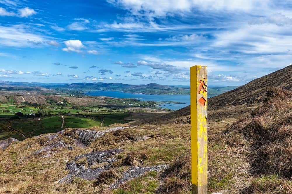 IndicatedField system · 1139 yd
 BenmoreHouse, 18th/19th century · 1403 yd
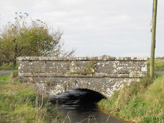 Carra Bridgebridge · 1590 yd
 Galboley Castle (in ruins)Castle, unclassified · 2.1 mi
 Turoe StoneHeritage attraction · 2.1 mi
 Drought Castle (in Ruins)Castle, tower house · 3.5 mi
 Dartfield Horse MuseumHeritage attraction · 3.6 mi
 Woodlawn WoodsForest · 4.2 mi
 European Crab AppleEuropean Crab Apple · 4.5 mi
 Battle of Aughrim Interpretative CentreMuseum · 8.6 mi
 Battle of AughrimMajor battlefield · 8.7 mi