What is recorded here
In 1939 the surveyors still called it a children's burial ground, but by the 1940s ploughs had cut through the marker and the names disappeared under barley. What remains is a shallow six-by-four metre dip, small enough to walk across in seconds yet heavy with every child the soil once held. The land forgot quickly, as fields do, but the shape of the hole still points to the place where love and loss were buried together.
Marked on the 1841-42 and 1939 OS map as 'Killeen Children's Burial Ground' and noted as 'disused' in 1939, it was completely ploughed out in the 1940s. Only a slight depression measuring 6m x 4m is now visible.
The above description is derived from C. Toal, ‘North Kerry Archaeological Survey’. Dingle. Brandon in association with FAS Training and Employment Authority (1995), no. 867. In certain instances the entries have been revised and updated in the light of recent research.
Date of upload: 3 August 2013
The monument record does not grant public access. Check the route and ask the landowner before entering private land.
- What survives
- Recorded monument
Places near here
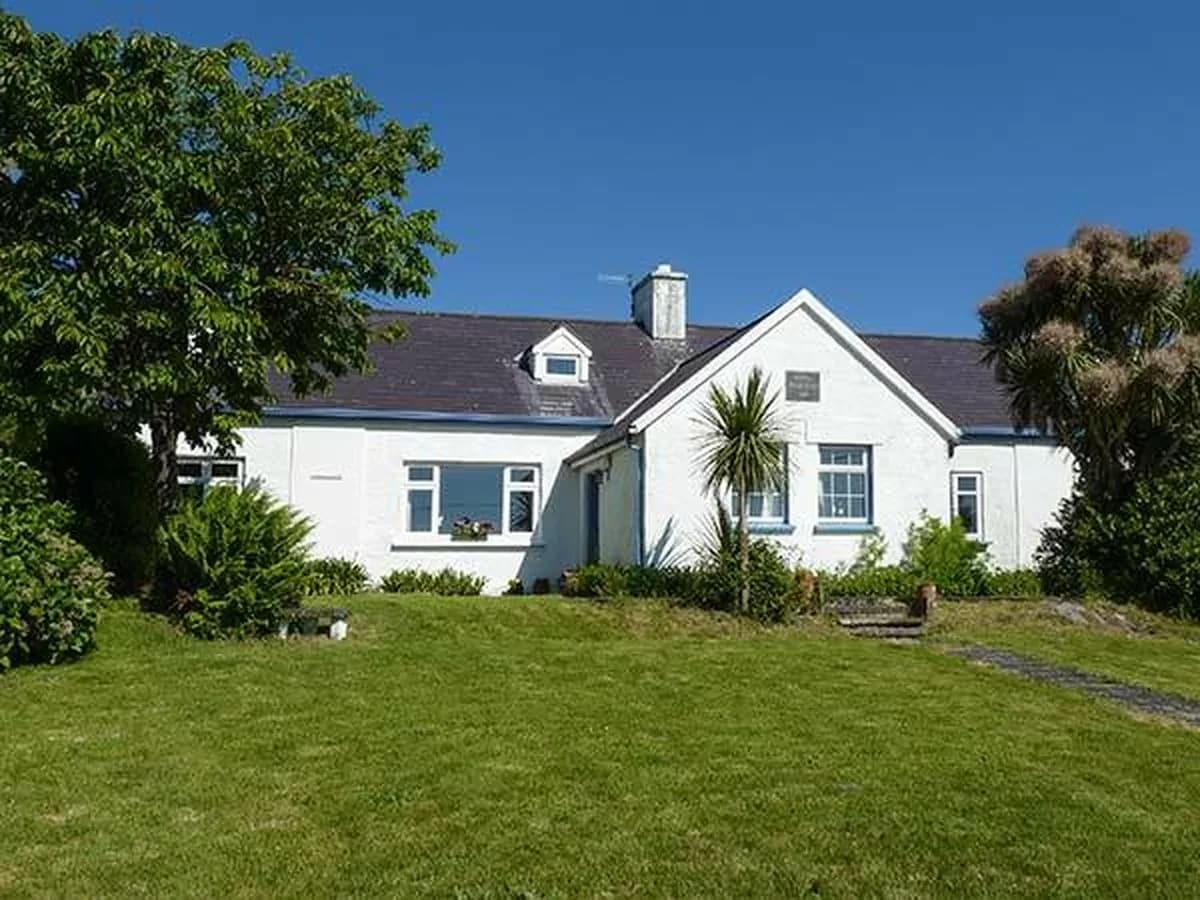 CahergalArchaeological place · 1032 yd
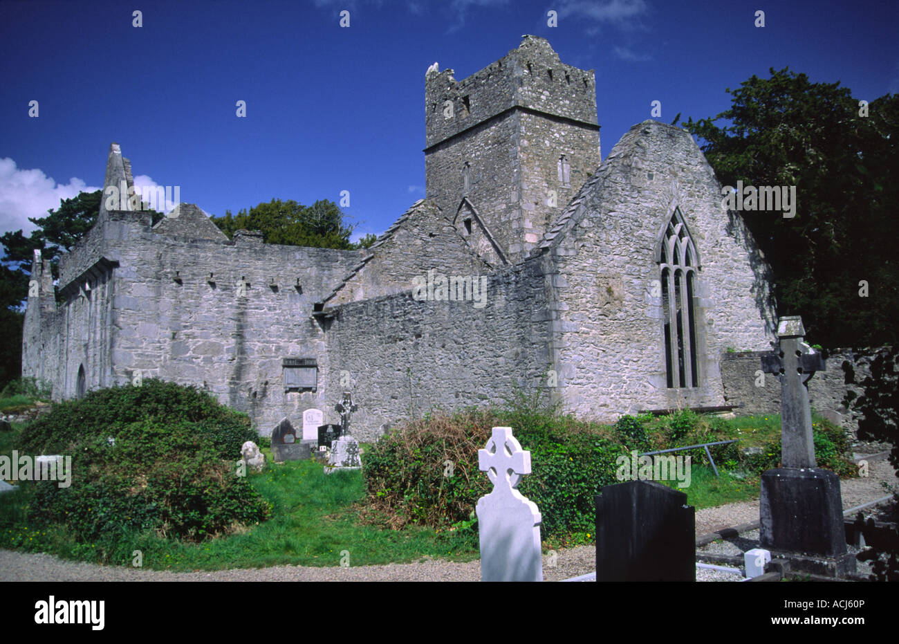 Enclosure in KilmeanyEnclosure · 1511 yd
 CastleCastle, tower house · 1.6 mi
 Duagh Church (in ruins)Church · 1.7 mi
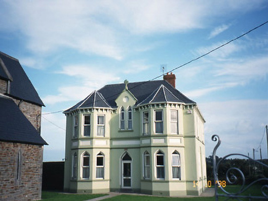 Saint Brigid's Catholic Churchpresbytery/parochial/curate's house · 1.8 mi
 John B. KeaneMemorial · 2.6 mi
 Holocaust MemorialMemorial · 2.6 mi
 Kerry Writers' MuseumMuseum · 3.1 mi
 Listowel Castle (in ruins)Castle, tower house · 3.1 mi
 Lartigue MonorailMuseum · 3.4 mi
 Stack's MountainMountain / peak · 10 mi
 Siege of Carrigafoyle Castlesiege · 10 mi