What is recorded here
Situated on lower S facing slopes of Sheeanmore Hill in pasture. Roughly rectangular area (dims 14m E-W; 13m N-S) enclosed by a bank of earth and stone (Wth 2.2m-4m; int. H 0.3m-0.5m; ext. H 0.2m-0.3m). There is no fosse visible at ground level. The internal face of the bank is revetted at E with limestone slabs laid on edge external face of the bank is revetted with similar limestone slabs SE-S-SW. Probable entrance feature is marked by a pair of upright rectangular slabs, standing 0.4m apart, extending perpendicularly from the inner face of the bank at N (W stone-T 0.3m; H 1m; E stone- T 0.2m; H .4m). The interior of the site is strewn with rubble limestone that is concentrated into thirteen low cairns (av. dims. Wth base 2m; H 0.3m) There are also five roughly rectangular quarried limestone blocks (L 0.6m-1m; 0.25m-0.35m square) strewn in no clear order. Site is known locally as an infants' burial ground.
Attached images:
SL013-012002-_01.JPG viewed from E
SL013-012002-_02.JPG viewed from W, with mound barrow (SL013-012002-) in the background
SL013-012002-_02.JPG viewed from N
Compiled by: Mark Keegan
Date of upload: 19 January 2011
The monument record does not grant public access. Check the route and ask the landowner before entering private land.
- What survives
- Recorded monument
Places near here
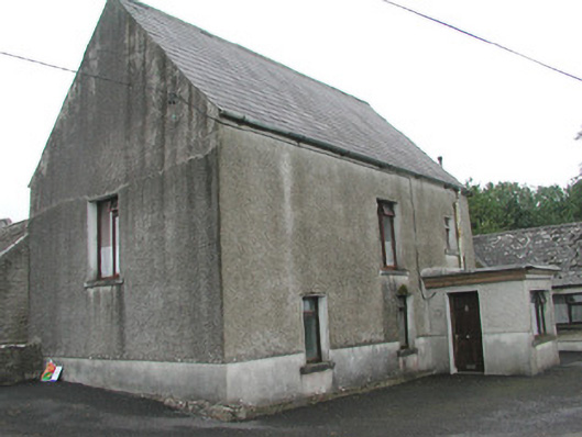 Stand Househouse · 533 yd
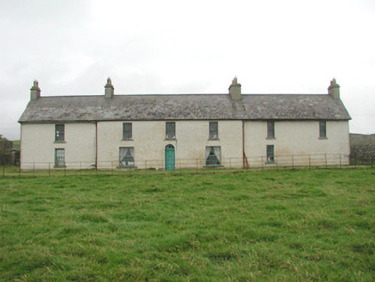 Toberpatrick Lodgehouse · 569 yd
 CastleCastle, Anglo-Norman masonry castle · 678 yd
 Enclosure in ArdabroneEnclosure · 728 yd
 CaveMan-made underground passage · 1343 yd
 Dunmoran StrandBeach / strand · 1.1 mi
 Bawn in CarrowbrickeenBawn · 1.6 mi
 Aughris BeachBeach / strand · 2.0 mi
 Derkmore PointHeadland · 2.0 mi
 Sligo BayBay · 2.8 mi
 Giant's GraveArchaeological place · 3.0 mi
 Lahanacappul IslandIslet · 3.2 mi