What is recorded here
Killaspicktarvin lost its children's graveyard to a quarry, erasing the exact ground where young bodies once rested. Maps from 1841 and 1898 still name the vanished place, preserving the memory even though the soil has been taken. The quarry digs where grief once lay buried, turning a sacred loss into a wound in the earth.
This is marked on the 1841-42 OS map as 'Killeen Graveyard' (Cillín) and on the 1898 OS map as 'Killeen Graveyard (disused)'. No surface trace of this site can be seen today, as a quarry is now in its place. See also: Tullamore (KE005-091----); Lerrig North (KE021-013----).
The above description is derived from C. Toal, ‘North Kerry Archaeological Survey’. Dingle. Brandon in association with FAS Training and Employment Authority (1995), no. 877. In certain instances the entries have been revised and updated in the light of recent research.
Date of upload: 3 August 2013
Cillín, 17th–19th century. These small, often unmarked burial grounds were used for children and stillborn infants, reflecting early Christian and folk traditions in Ireland.
The monument record does not grant public access. Check the route and ask the landowner before entering private land.
- What survives
- Recorded monument
Places near here
 Fairy fort / earthen ringfort in AghanacrinnaFairy fort / earthen ringfort · 1544 yd
 Enclosure in AghacooraEnclosure · 1601 yd
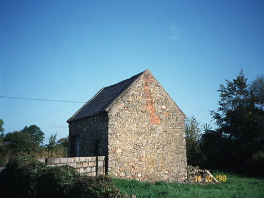 Crotta Housegate lodge · 1.7 mi
 Abbeydorney Monastery (in ruins)Religious house, Cistercian monks · 1.7 mi
 Kilflynn Nature ReserveNature reserve · 2.0 mi
 CastleCastle, Anglo-Norman masonry castle · 2.6 mi
 Ballymacaquinn Castle (remains of)Castle · 2.6 mi
 CruslineMountain / peak · 4.4 mi
 Tobar na MoltSpring · 4.5 mi
 Stack's MountainMountain / peak · 4.7 mi
 Ardfert Franciscan FriaryVisitor information · 5.6 mi
 Ardfert FriaryVisitor information · 5.6 mi