What is recorded here
Driminidy South holds a children's burial ground hidden beneath grass at a road bend. The small strip lacks markers, forcing memory to do the work stone usually performs. Local information preserves what visibility abandoned.
At a bend in a road. A grass-covered area (10m E-W; 3m N-S) on the N side of the road is, according to local information, a children's burial ground. No grave-markers are visible.
The above description is derived from 'The Archaeological Inventory of County Cork. Volume 5' (Dublin: Stationery Office, 2009).
Date of upload: 22 December 2009
The monument record does not grant public access. Check the route and ask the landowner before entering private land.
- What survives
- Recorded monument
Places near here
 MillMill, corn · 734 yd
 Church in Driminidy NorthChurch · 1298 yd
 IndicatedFairy fort / earthen ringfort · 1.0 mi
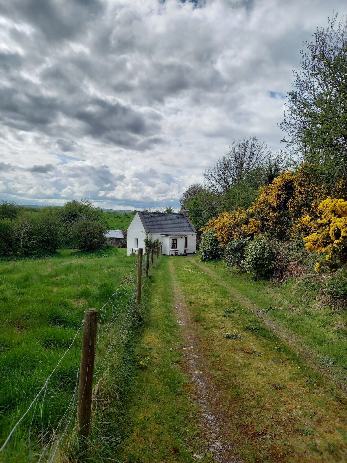 Man-made underground passage in Tooreen (carberry West (eastern Div.) By.)Man-made underground passage · 1.0 mi
 Lissangle Castle (Site of)Castle, unclassified · 3.5 mi
 Drimoleague Heritage Loop WalkWalking route · 3.8 mi
 Moyny Bridge WalkWalking route · 3.9 mi
 Coolngrane Fairy FortFort · 4.1 mi
 Graveyard in ToughmacdermodyGraveyard · 4.9 mi
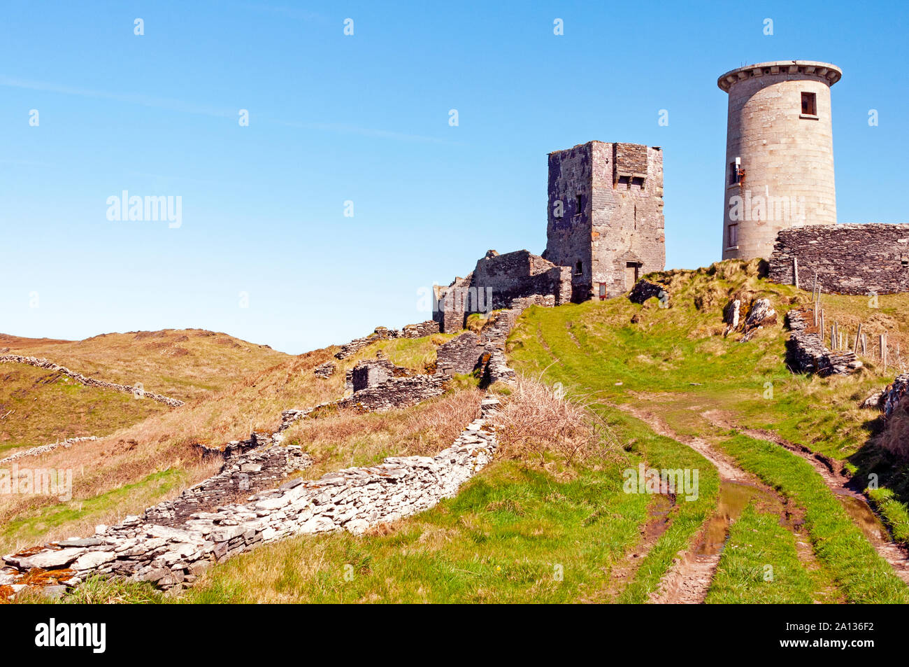 LookoutMountain / peak · 5.0 mi
 Bishop MahonyMemorial · 5.1 mi
 Heritage CentreMuseum · 5.2 mi