What is recorded here
Sixty low, uninscribed markers cluster in the south portion of a disused graveyard beside Reglaish Church, suggesting a children's burial ground active during the nineteenth century. The church occupies the north-west corner of this small plot, which measures twenty-five by twenty-two metres and overlooks Ballinskelligs Bay. The markers remain plain and humble, recording young lives without naming them, while the sea wind moves through the poor pasture above them.
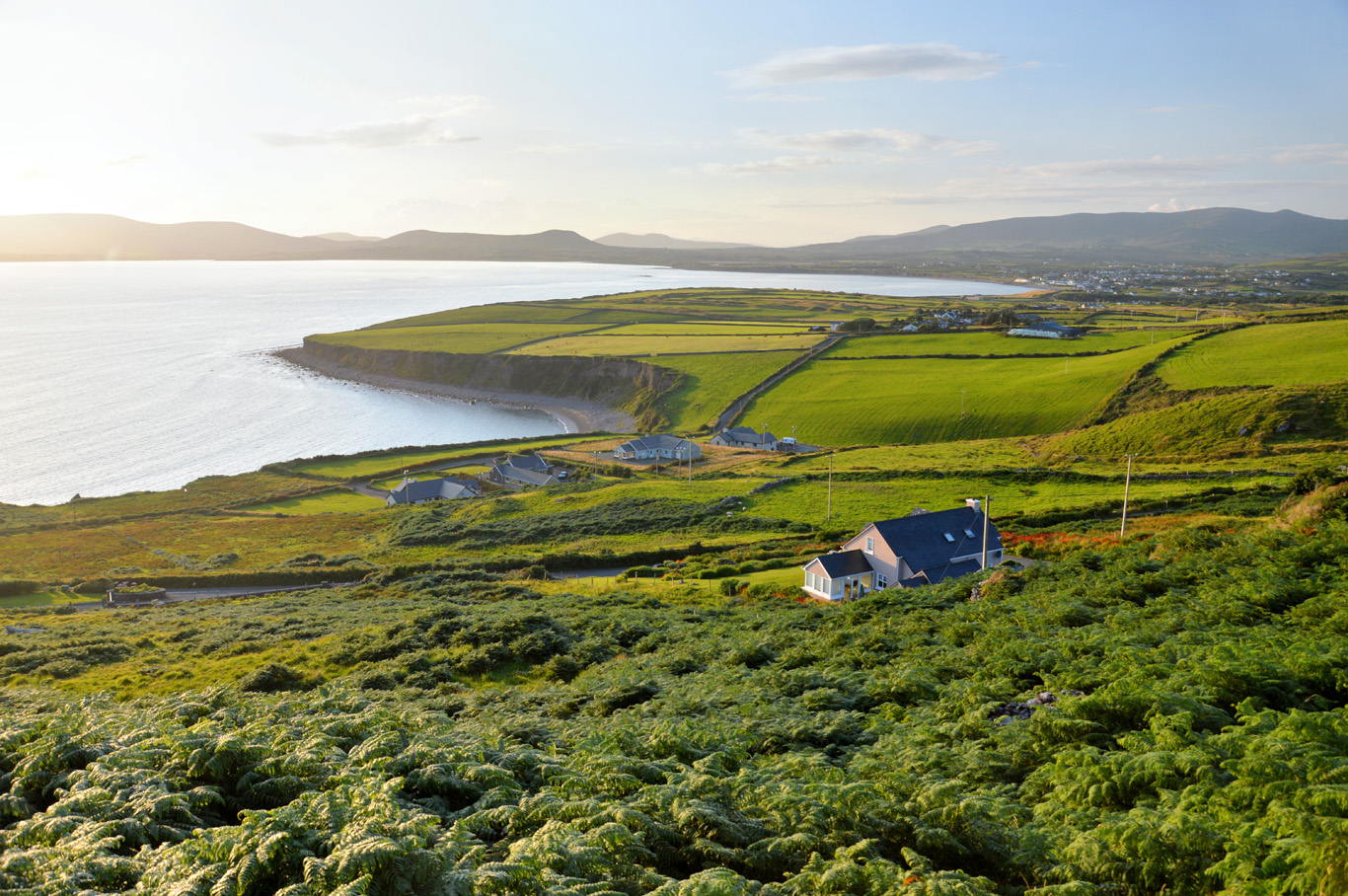
Reglaish Church / Reiclés, described in the OSNB as 'an abbey church' (Prior, 22), occupies the NW corner of a small disused graveyard (KE097-025001-) which measures 25m x 22m. It is situated in poor pasture and overlooks Ballinskelligs Bay to E.
The S portion of the graveyard contains about sixty, low, uninscribed grave-markers, which probably relate to its use as a children's burial ground (KE097-025002-) in the nineteenth century (OSL).
The above description is derived from A. O'Sullivan and J. Sheehan (compilers), 'The Iveragh peninsula: an archaeological survey of South Kerry'. Cork University Press (1996), no. 1095. In certain instances the entries have been revised and updated in the light of recent research.
Date of upload: 31 July 2013
The monument record does not grant public access. Check the route and ask the landowner before entering private land.
- What survives
- Recorded monument
Places near here
 Reglaish Church (in Ruins)Church · 20 yd
 Megalithic structure in Cinn Aird Thiar (tc Baile An Sceilg)Megalithic structure · 230 yd
 Indicated (1846).Enclosure · 331 yd
 Trá an GhleanntáinBeach / strand · 1610 yd
 Trá Bhaile an SceilgeBeach / strand · 1.0 mi
 KillurlyMountain / peak · 1.0 mi
 Ballinskelligs Castle (in Ruins)Castle, tower house · 1.1 mi
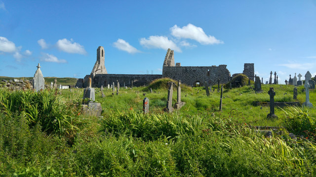 Ballinskelligs PrioryVisitor information · 1.2 mi
 Ballinskelligs Abbey (in ruins)Religious house, Augustinian canons · 1.2 mi
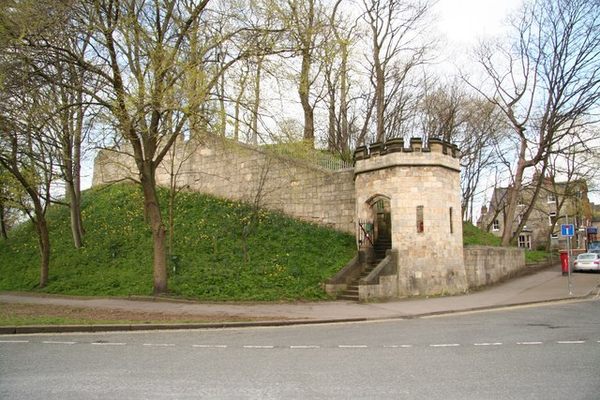 Castle (in Ruins)Castle, tower house · 1.2 mi
 Coastguard Station RuinsRuins · 1.5 mi
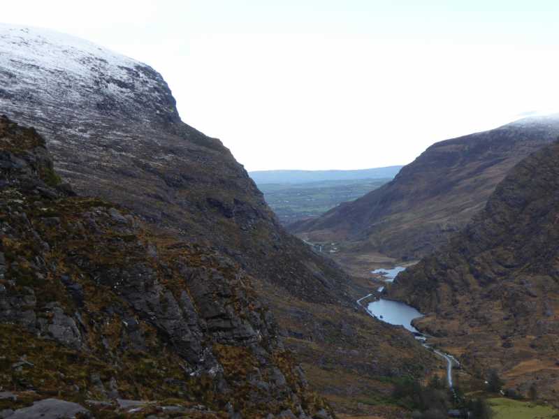 Cnoc Ceannúch (Canuig Mountain)Mountain / peak · 1.6 mi