What is recorded here
Children died young in Kyle, Bedford, and adults carried them to a small circular field set apart from the main burial ground. The field has vanished from memory and most maps, but on the 1841-42 Ordnance Survey map it still appears as a separate enclosed place. In 1939 the same survey called it disused, as if the living had stopped bringing children there. The absence is not emptiness; it is a room whose door has been closed.
This site appears on the 1841-42 OS map as a circular enclosure (KE010-029002-) and is marked 'Kyle Burial Ground'. On the 1939 edition its map designation is 'Kyle Burial Ground (disused)'. No surface trace of this site can be seen today.
The above description is derived from C. Toal, ‘North Kerry Archaeological Survey’. Dingle. Brandon in association with FAS Training and Employment Authority (1995), no. 855. In certain instances the entries have been revised and updated in the light of recent research.
Date of upload: 3 August 2013
The monument record does not grant public access. Check the route and ask the landowner before entering private land.
- What survives
- Recorded monument
Places near here
 Enclosure in BedfordEnclosure · 1 yd
 ToberreendoneyHoly well · 279 yd
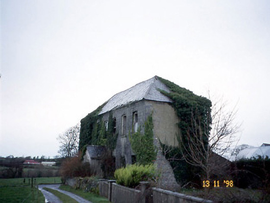 Bedford Househouse · 400 yd
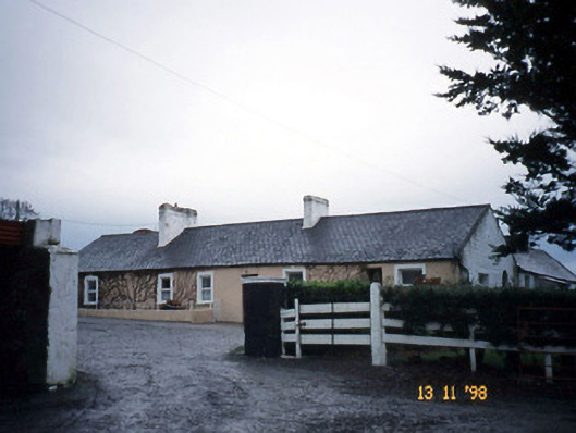 Gunsboroughfarmyard complex · 1.8 mi
 John B. Keane GroveMemorial · 1.9 mi
 Lartigue MonorailMuseum · 1.9 mi
 Bryan MacMahonMemorial · 2.3 mi
 Kerry Writers' MuseumMuseum · 2.3 mi
 Listowel Castle (in ruins)Castle, tower house · 2.3 mi
 Bawn in GlouriaBawn · 2.4 mi
 KnockanoreMountain / peak · 5.9 mi
 Siege of Carrigafoyle Castlesiege · 6.3 mi