What is recorded here
Children's burial ground in Baile Na Habha (tc Cill Chuáin) is a calluragh enclosure east of Tiduff village, holding small lives beneath a raised circle on the Brandon slopes. The quiet mound and scattered quartz stones suggest worship, loss and care rather than ordinary farming. A nearby divided structure may have served the people who tended the dead, though its exact role remains unknown.
Known locally as a calluragh burial ground, this enclosure lies directly E of Tiduff village, on the lower W slopes of the Brandon mountain range. It measures 21m in diameter and is enclosed partly by a low bank and partly by a scarp, the level interior being raised above the external ground level on the downslope side. The bank in the S sector has been replaced by a field wall which appears to preserve the original outline of the enclosure. The bank and scarp are a maximum of .8m high. A 5m wide gap at SE probably marks the location of the entrance. Some spreads of small stones are visible in places on the bank but some of these may simply be field clearance debris. The only feature visible in the interior is an amorphous mound, and there are large numbers of quartz stones scattered about. About 5m to E of the entrance, a possible building, rectangular in plan, is defined partly by field walls, partly by grass-grown mounds and partly by earthfast stones. It measures a maximum of 16.2m E-W x 9m N-S and appears to be internally divided into 2 sections. Its relationship with the calluragh is not known.
The above description is derived from J. Cuppage, ‘Corca Dhuibhne. Dingle Peninsula archaeological survey. Ballyferriter. Oidhreacht Chorca Dhuibhne’ (1986), no. 888. In certain instances the entries have been revised and updated in the light of recent research.
Date of upload: 7 August 2013
A Neolithic circular burial enclosure, likely a ring cairn or fulachtaí, with potential Bronze Age reuse; its significance lies in its association with early funerary and ritual practices in the Brandon mountain region.
The monument record does not grant public access. Check the route and ask the landowner before entering private land.
- What survives
- Recorded monument
Places near here
 Man-made underground passage in Baile Na Habha (tc Cill Chuáin)Man-made underground passage · 133 yd
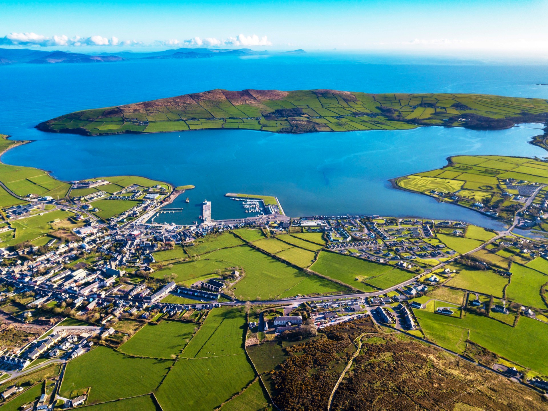 CathairFairy fort / stone ringfort · 248 yd
 Brandon CreekViewpoint · 1185 yd
 Binn na mBanMountain / peak · 1.2 mi
 IWayside cross · 1.3 mi
 IVWayside cross · 1.4 mi
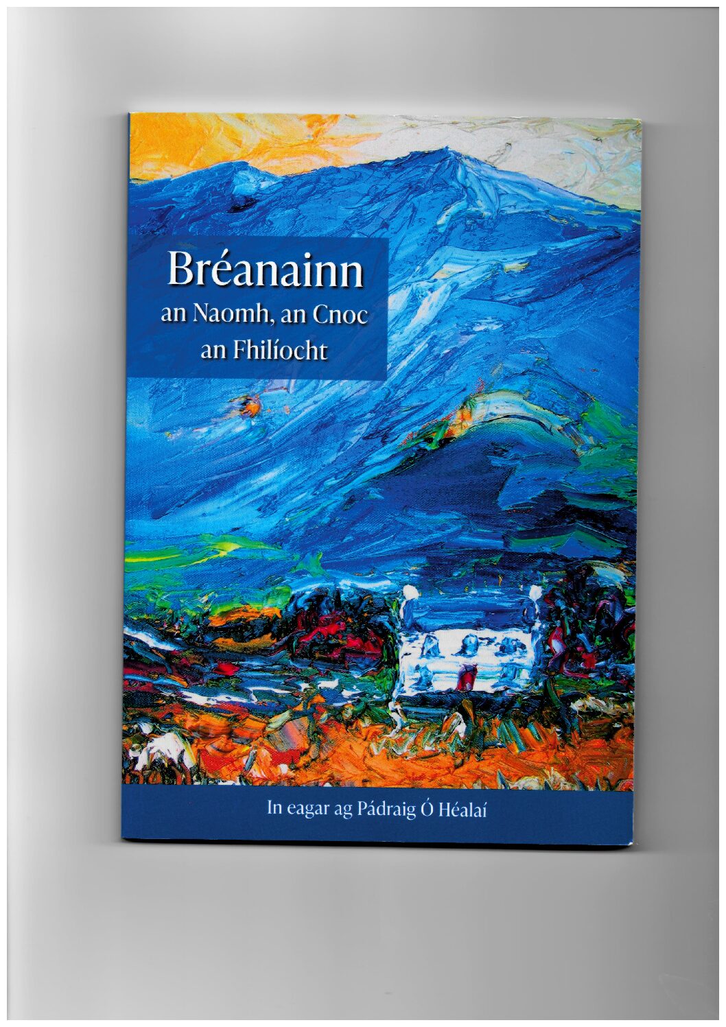 Cnoc Bréanainn (mullach i gcéin thuaidh)Mountain / peak · 1.7 mi
 Moorestown CastleCastle · 2.2 mi
 Cúinne an MhionnáinHeadland · 2.6 mi
 World War II plane crash site: Engine of Focke-Wulf Fw 200 CondorHeritage attraction · 2.7 mi
 Tearmann Dúlra Cnoc Bréanainn / Mount Brandon Nature ReserveNature reserve · 3.1 mi
 Tower (in ruins)Castle, unclassified · 3.8 mi