What is recorded here
Checker Hill rises to approximately 450 metres and is part of the low-lying uplands characteristic of west Galway. The name may derive from a historical land division pattern or a local legend involving a checkerboard-like landscape feature; its significance lies in its role as a minor landmark in the region's rural topography.
Places near here
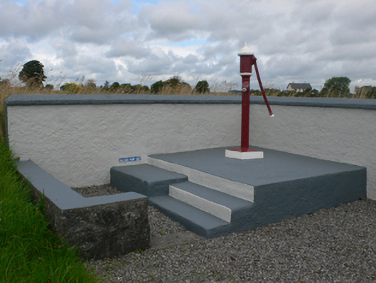 water pumpwater pump · 756 yd
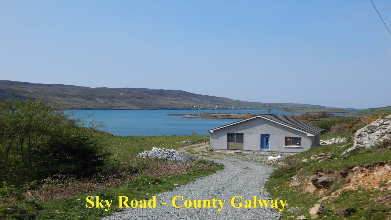 LissabrollaunFairy fort / earthen ringfort · 840 yd
 Catholic Church of Christ the Kingchurch/chapel · 866 yd
 Enclosure in KiltivnaEnclosure · 1155 yd
 Castle in ruinsCastle, unclassified · 1.4 mi
 Slieve DartMountain / peak · 1.9 mi
 Dunmore CastleCastle · 3.6 mi
 Site of Killomaine Grave YardArchaeological place · 9.4 mi
 European ashEuropean ash · 12 mi
 LisowenmacloughlinArchaeological place · 1266 yd
 Ballaghdorragha RathFairy fort / earthen ringfort · 1300 yd
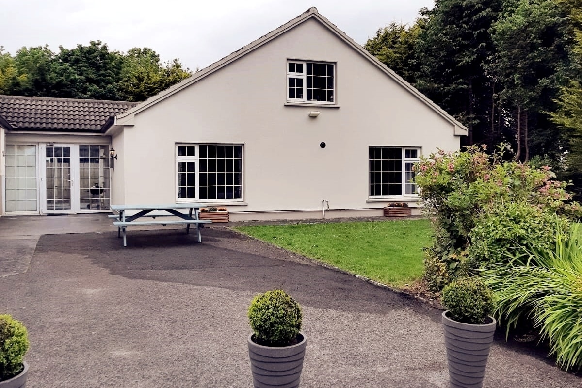 Enclosure in LissyconorEnclosure · 1676 yd