What is recorded here
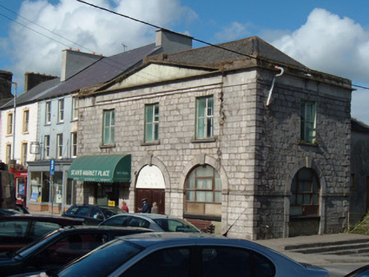
Corner-sited three-bay two-storey market house, dated 1769, having lower two-storey extension to rear, built c. 1850. Now disused. Hipped artificial slate roof with terracotta ridge tiles. Rendered pediment over windows of front façade. Slated hipped roof extension, having lead and render ridging and some cast-iron rainwater goods. Dressed limestone walls to front and south elevations, having punch-dressed stones to first floor and tooled stones to ground floor, with tooled limestone string course and raised stone quoins. Smooth rendered façade to rear extension. Arcaded ground floor comprising tooled limestone imposts and voussoirs, latter with projecting dropped keystones, having dated keystone to centre arch. Arches now filled in with replacement timber door and windows. Square-headed window openings to rear extension, having one-over-one pane timber sliding sash to ground floor south-east elevation and six-over-six pane timber sliding sash window to first floor north-east elevation. Limestone steps to south elevation with cast-iron railings. Limestone steps to south-east.
This imposing civic building forms a key social, historical and architectural focal point for the town. It is one of the earliest buildings in the town. The design is familiar throughout the country, sharing many features such as the neo-classical design focusing on round-headed openings and labour-intensive ashlar stonework. The building has always had important civic functions and has considerable potential for reuse. It is thought to have functioned as a potato market in the nineteenth century.
This does not grant access. Most recorded buildings are privately owned; view them only from public ground unless the owner allows entry.
Places near here
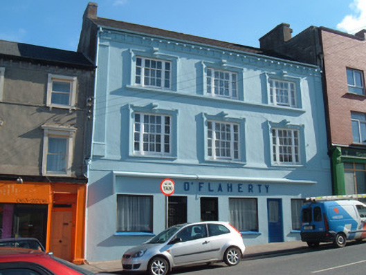 O'Flahertyhouse · 32 yd
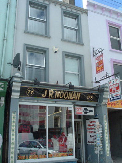 J.R. Noonanhouse · 32 yd
 MoatEnclosure · 655 yd
 Holy Cross CemeteryGraveyard · 655 yd
 Moanboy FortFairy fort / earthen ringfort · 1506 yd
 Bawn in CregganeBawn · 1.9 mi
 Castle Harrison on Site of Castle (19*Castle, unclassified · 2.2 mi
 ToberSpring · 2.7 mi
 Lady's WellSpring · 2.8 mi
 BallinaboolaVisitor information · 4.0 mi
 CarrigeenMountain / peak · 4.6 mi
 Caher HillMountain / peak · 4.7 mi
Other information
Photo: National Inventory of Architectural Heritage · Website use allowed for educational or private purposes with source credit