What is recorded here
Chapelizod Bridge is marked on Rocque's map of 1760. It is not marked on the Down Survey (1655-6) map. The bridge has late hammer-dressed sidings with chamfered stone coppings. There are three break waters. On the west side there are round segmental arches.
The monument record does not grant public access. Check the route and ask the landowner before entering private land.
- What survives
- Recorded monument
Places near here
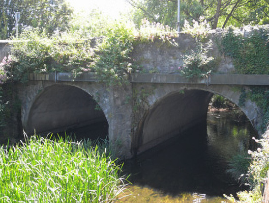 bridgebridge · 1 yd
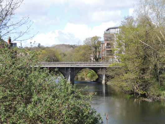 Anna Livia Bridgebridge · 75 yd
 Town defences in Unknown TownlandTown defences · 151 yd
 Graveyard in Unknown TownlandGraveyard · 248 yd
 Knockmaree DolmenArchaeological place · 443 yd
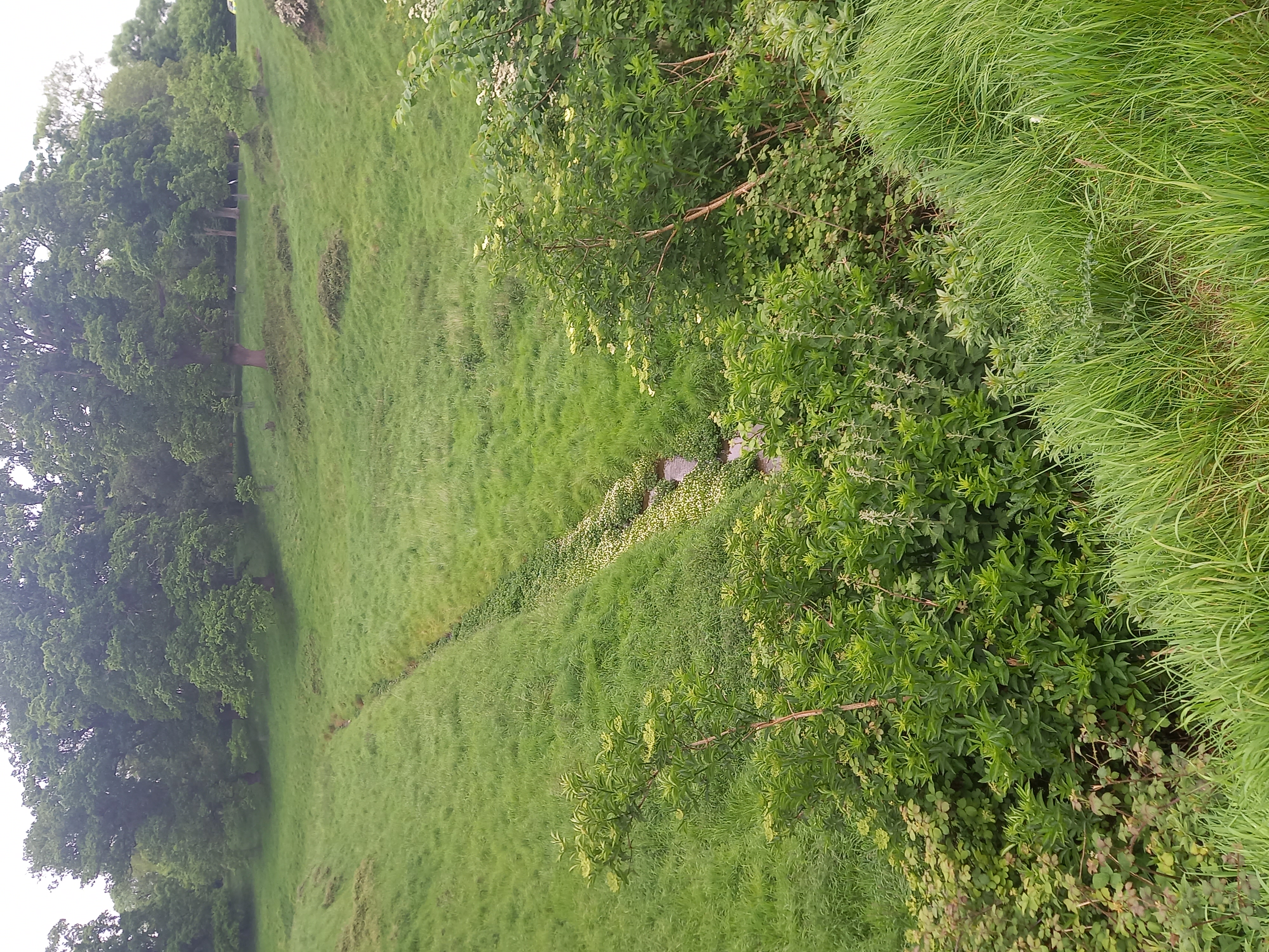 Furry GlenWood · 1368 yd
 Oldtown WoodWood · 1436 yd
 Graveyard in Palmerstown LowerGraveyard · 1.0 mi
 Toni'sPicnic place · 1.4 mi
 Kilmainham Jail MuseumMuseum · 1.5 mi
 Castleknock CastleCastle · 1.7 mi
 Royal Hospital KilmainhamHeritage attraction · 1.8 mi