What is recorded here
Carrigan (1905, vol. 2, 88-9) suggests that the 13th-century chapel of Tullabarry, 'may have stood in the present townland of Moat, on the green ridge to the west of, and bounding, the Railway, and stretching south from the arched gateway underneath the Railway tract. This ridge, which is about 80yds. long, was a wilderness of bushes and briars till the year 1825, when it was cleared and cultivated. While levelling towards the northern end, the workmen - one of whom was my informant - came upon a burial place [KK005-056----] of some extent. The skeletons lay along, beside each other, about two feet under the surface. There were no headstones, and no remains of foundations of walls. It is possible that this was the site of Tullabarry chapel, with its consecrated cemetery; but, from the description just given, the likelihood is that it was merely a place used for the internment of warriors slain in some battle of far off times'. The chapel is also recorded as KK005-023003-. The location of this chapel is unknown.
Compiled by: Jean Farrelly
Date of upload: 16 February 2016
The monument record does not grant public access. Check the route and ask the landowner before entering private land.
- What survives
- Recorded monument
Places near here
 Ballyconra Hall (site of)Archaeological place · 533 yd
 Moat Castle (site of)Archaeological place · 609 yd
 Enclosure in Rathduff (fassadinin By.)Enclosure · 610 yd
 CastleCastle, unclassified · 614 yd
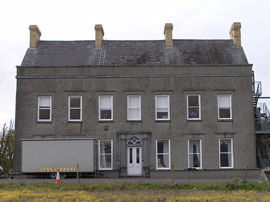 Ballyconra Househouse · 883 yd
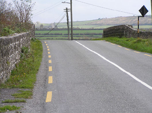 bridgebridge · 1333 yd
 Graveyard in SraleaghGraveyard · 1.0 mi
 Anker's IslandIsland · 1.1 mi
 Donaghmore WellSpring · 1.6 mi
 Jenkinstown ParkWood · 5.1 mi
 Emma Jane Browne-ClaytonMemorial · 5.2 mi
 Red horse-chestnutRed horse-chestnut · 5.2 mi