
What is recorded here
Ceann Bhólais is recorded as a headland in County Kerry. Its open map record supplies this location and any linked names or public references.
Ceann Bhólais is a basaltic sea cliff formed during the Paleogene period, approximately 60 to 50 million years ago, as a result of volcanic activity associated with the opening of the North Atlantic. It is notable for its dramatic coastal scenery and as part of the extensive basalt formations characteristic of western Ireland's Atlantic coastline.
Places near here
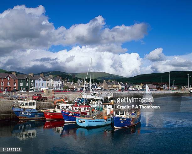 BraighdeNamed rock · 105 yd
 Oileán na bhFaoileán/island of the Gulls.Cliff · 499 yd
 Poll Pippin/Pippin.s Cave.Cave · 964 yd
 WWII Lookout PostRuins · 1188 yd
 Bolus Napoleonic Signal TowerRuins · 1199 yd
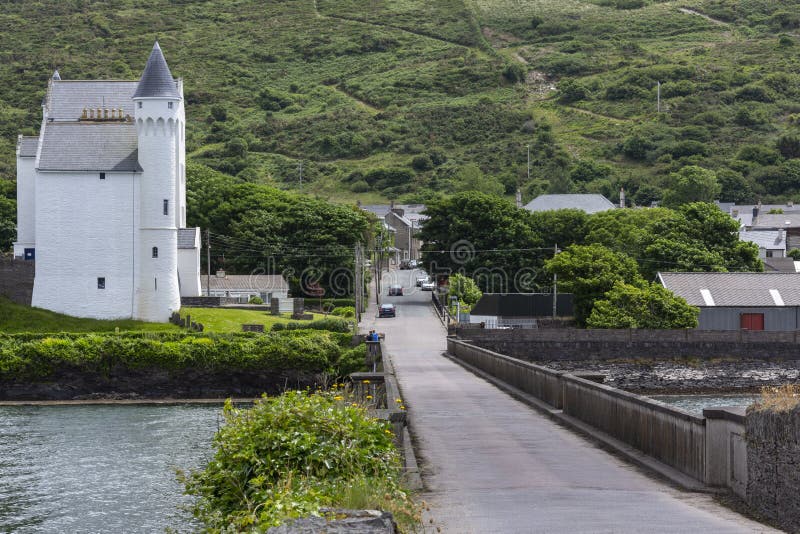 Cuas na gColúr/Cove of the Pigeons.Cave · 1.0 mi
 Megalithic structure in DuicheallaMegalithic structure · 1.1 mi
 Óin/ Man-made underground passageArchaeological place · 1.2 mi
 Liberator "63939" monumentMemorial · 2.1 mi
 Bogha SínMountain / peak · 2.2 mi
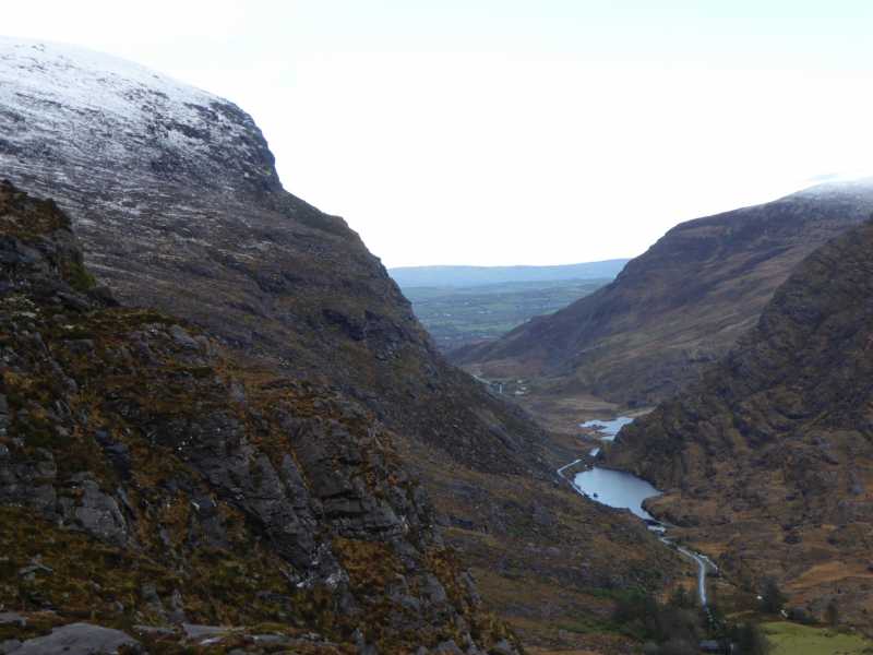 Cnoc Ceannúch (Canuig Mountain)Mountain / peak · 2.2 mi
 Trá PhraisceBeach / strand · 3.0 mi
Other information
Photo: Martin Creek · CC BY-SA 2.0