What is recorded here
Ceann Bhaile Dháith is recorded as a headland in County Kerry. Its open map record supplies this location and any linked names or public references.
Ceann Bhaile Dháith is a headland composed primarily of basaltic rock, formed during the Paleogene period through volcanic activity associated with the opening of the North Atlantic. The feature is notable for its dramatic coastal exposure and potential links to the broader basaltic terrain of southwest Ireland.
Places near here
 Ceann Bhaile DháithMountain / peak · 551 yd
 Ballydavid Signal TowerRuins · 559 yd
 Cúinne an MhionnáinHeadland · 1265 yd
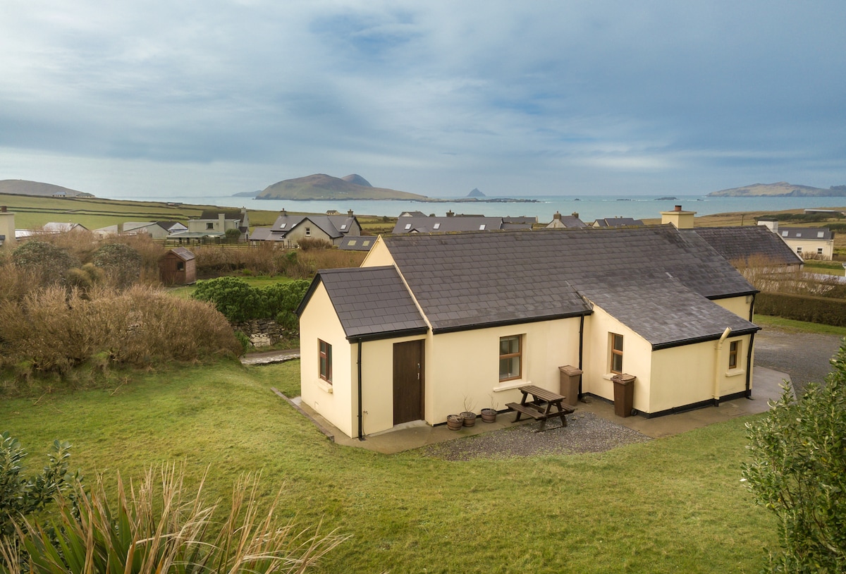 Enclosure in Baile DháithEnclosure · 1303 yd
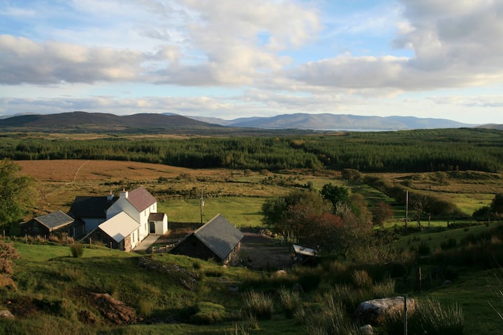 Hut site in Currach GráigeHut site · 1307 yd
 Moorestown CastleCastle · 1.5 mi
 Séipéal Bhréanainn [Saint Brendan's Catholic Church]church/chapel · 2.0 mi
 Faill na MúCliff · 2.2 mi
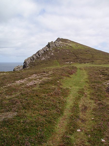 Binn DiarmadaMountain / peak · 2.3 mi
 Brandon CreekViewpoint · 2.5 mi
 Dunanoir FortVisitor information · 3.3 mi
 Trá an FhíonaBeach / strand · 3.5 mi