What is recorded here
Within the SW quadrant of a cashel (GA104-014----). This drystone-built Man-made underground passage (L >9.6m) runs NNE-SSW and consists of a chamber (L 7m; Wth 1.8m; H 0.92m) with a hollow (L 2.6m) defined by drystone walling at its N end. Some 4m further to the N, a linear depression (L 6m), running NE-SW, may be a continuation of this chamber or it may indicate the presence of a second one. (McCaffrey 1952, 210, no. 135)
Compiled by: Galway Archaeological Survey, UCG
Date of upload: 13 October 2016
The monument record does not grant public access. Check the route and ask the landowner before entering private land.
- What survives
- Recorded monument
Places near here
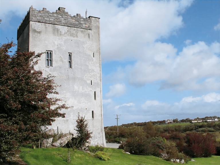 IndicatedFairy fort / stone ringfort · 1 yd
 Field system in Ballybaun (dunkellin By.)Field system · 47 yd
 Cloghroak Castle (in ruins)Castle, tower house · 1455 yd
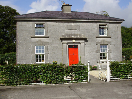 Castle Taylorsteward's house · 1565 yd
 Cregaclarefarmyard complex · 1.1 mi
 Castle (in ruins)Castle, Anglo-Norman masonry castle · 1.6 mi
 Drumharsna CastleHeritage attraction · 3.4 mi
 HawthornHawthorn · 4.2 mi
 European ashEuropean ash · 4.2 mi
 Mulroney's IslandIslet · 7.1 mi
 Mweenish PointHeadland · 8.1 mi
 Traught BeachBeach / strand · 8.6 mi