What is recorded here
No cave remains. The west half of the rath has been cut into three quarry pits, five to ten metres wide and up to one point eight metres deep. Whatever passage was dug there has vanished under the hunger of the land.
In a rath (MA071-052001-). A Man-made underground passage is indicated as ‘Cave’ in the W half of the rath on the 1838 and 1931 OS 6-inch maps. A large part of the W half of the rath has been dug away to a depth of between 0.6-1.8m by three quarry pits (max. dims. c. 5-10m). There is no trace of the Man-made underground passage.
Compiled by: Jane O’Shaughnessy
Date of upload: 30 July 2021
This remains an important historical record, but the official description says the monument is no longer visible or has been destroyed. The monument record does not grant public access. Check the route and ask the landowner before entering private land.
- What survives
- No visible remains or recorded as destroyed
Places near here
 IndicatedFairy fort / earthen ringfort · 233 yd
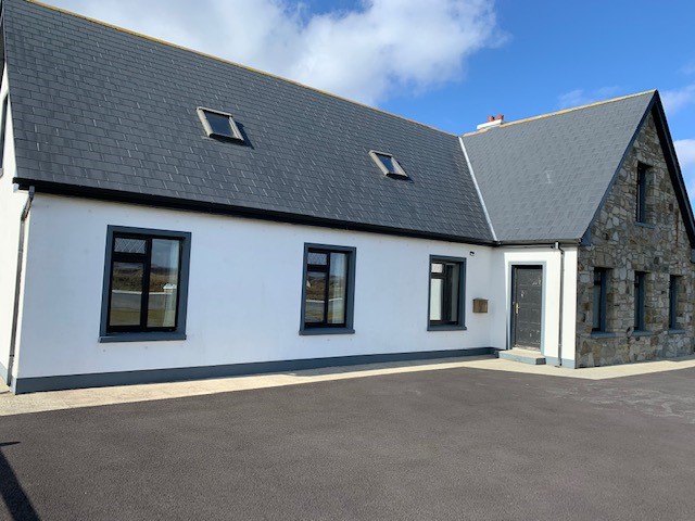 Enclosure in LissanumeraEnclosure · 906 yd
 Lislackagh National Schoolschool · 1639 yd
 bridgebridge · 1703 yd
 Thorn CaveCave · 1.1 mi
 Brabazon WoodsForest · 2.3 mi
 Youth Memorial GardenMemorial · 2.3 mi
 Procession Of The SoulsMemorial · 2.6 mi
 HawthornHawthorn · 4.1 mi
 Castle in ruinsCastle, tower house · 4.1 mi
 Castle (in Ruins)Castle, unclassified · 4.2 mi
 Hennigan's Heritage CentreHeritage attraction · 4.3 mi