What is recorded here
Marked only on the 1915 ed. of the OS 25-inch map where it is described in italic lettering as a 'Cave' and situated on a slight rise in a gently undulating landscape. It was described c. 1910 as a passage with drystone-built walls and a lintelled roof (OS Name Books). Excavation (94E0058) in advance of a cemetery extension revealed an underground lintelled chamber (dims 8.5m N-S; c. 2.5m E-W) with some lintels in place, which is connected at N to the W end of a second lintelled chamber (dims 7m E-W; 2.5m N-S) which may have had the original entrance at its SE corner. Both chambers were filled with earth and were not emptied. A furnace bottom and some slag was found at the Man-made underground passage entrance, suggesting that iron-working was conducted in the vicinity, but there was no evidence of an associated enclosure. The Man-made underground passage is excluded from the cemetery. (Lavelle 1994; 1995)
Compiled by: Michael Moore
Date of revised upload: 6 November 2018
The monument record does not grant public access. Check the route and ask the landowner before entering private land.
- What survives
- Recorded monument
Places near here
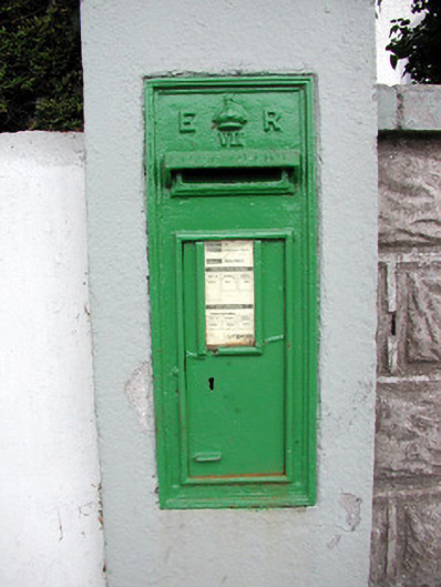 post boxpost box · 259 yd
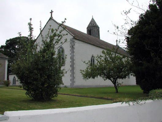 Saint Mary's Catholic Churchchurch/chapel · 262 yd
 Tully CastleArchaeological place · 1014 yd
 Tonvee CastleCastle, unclassified · 1022 yd
 IndicatedFairy fort / stone ringfort · 1152 yd
 Embanked enclosureFairy fort / earthen ringfort · 1.7 mi
 Split HillMountain / peak · 2.7 mi
 Devenish IslandIsland · 3.6 mi
 Long IslandIsland · 4.0 mi
 Sugarloaf HillMountain / peak · 4.2 mi
 HawthornHawthorn · 4.3 mi
 Shannonbridge - Nearby AttractionsVisitor information · 4.4 mi