What is recorded here
In NW quadrant of enclosure (CO061-017002-). Mentioned by Hartnett (1939, 192), who noted that it had 'long since collapsed'. No visible surface trace.
The above description is derived from the published 'Archaeological Inventory of County Cork. Volume 3: Mid Cork' (Dublin: Stationery Office, 1997). In certain instances the entries have been revised and updated in the light of recent research.
Date of upload/revision: 14 January 2009
The monument record does not grant public access. Check the route and ask the landowner before entering private land.
- What survives
- Recorded monument
Places near here
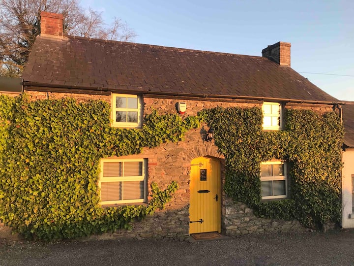 Enclosure in Kilcullen SouthEnclosure · 28 yd
 Man-made underground passage in Kilmartin LowerMan-made underground passage · 734 yd
 Saint Bartholomew's WellSpring · 1193 yd
 Dripsey Bridge (Lower)Bridge · 1.2 mi
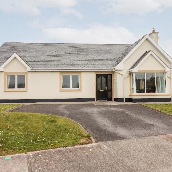 Mountrivers HouseCountry house · 1.5 mi
 Oldcastle WoodWood · 2.6 mi
 New TipperaryVisitor information · 2.9 mi
 Knockduff Wind FarmVisitor information · 3.7 mi
 Mullinhassig WaterfallWaterfall · 4.0 mi
 Mullinhassig WoodWood · 4.0 mi
 Carrignamuck Tower HouseCastle · 4.1 mi
 Knockcraugh HillMountain / peak · 4.3 mi