What is recorded here
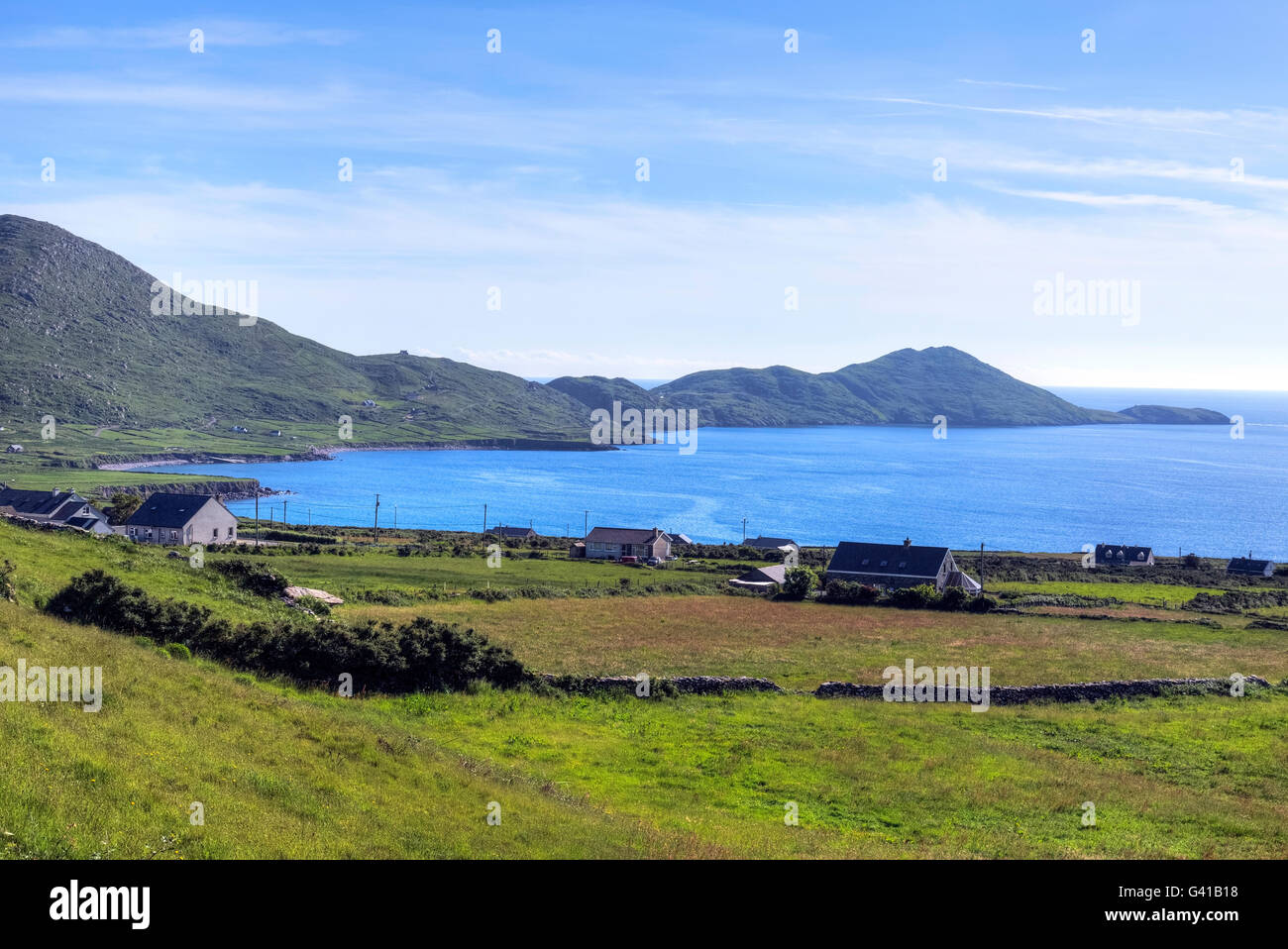
Scariff Island is located 5 km SW of Hog's Head, on the N side of the mouth of Kenmare Bay. The ecclesiastical site on it is reached by a path that leads uphill from the landing place at Coosaneeve/Cuas na Naomh, on the island's NE shore. It consists of the remains of a terraced oval enclosure, within which is the site of an oratory and a burial ground, as well as a nineteenth century house. Outside the enclosure at SW is a Man-made underground passage.
The entrance to a Man-made underground passage (KE105A-001004-) is located just outside the enclosure (KE105A-001002-) at SW. Built into a steep slope, it measures .4m high x 1.1m wide and gives access to a passage which extends 2.8m WNW before turning to WSW for a further 4.1m, where it is blocked with collapse. The passage is up to .9m high and averages .9m wide. It is roofed with lintels, and its well-built drystone walls corbel inwards as they rise.
The above description is derived from A. O'Sullivan and J. Sheehan (compilers), 'The Iveragh peninsula: an archaeological survey of South Kerry'. Cork University Press (1996), no. 967. In certain instances the entries have been revised and updated in the light of recent research.
Date of upload: 30 July 2013
The monument record does not grant public access. Check the route and ask the landowner before entering private land.
- What survives
- Recorded monument
Places near here
 Oratory (in Ruins)Church · 39 yd
 Ecclesiastical enclosure in ScariffEcclesiastical enclosure · 113 yd
 Scarriff IslandIsland · 631 yd
 Hermitage in ScariffHermitage · 969 yd
 Deenish IslandIslet · 1725 yd
 Moylaun IslandMountain / peak · 3.1 mi
 Pointe Lic an TeampaillHeadland · 3.6 mi
 Hog's Head Signal TowerRuins · 3.8 mi
 Cnoc an StocaMountain / peak · 3.9 mi
 Com An ChisteViewpoint · 4.4 mi
 Derrynane Bay Beach / Trá Bhá Doire FhionáinBeach / strand · 4.7 mi
 Páirc Náisiúnta Stairiúil Dhoire Fhíonáin / Derrynane National Historic ParkNature reserve · 5.1 mi