What is recorded here
In a rath (MA062-052002-).
Indicated as ‘Cave’ in the S half of the rath on the 1919 OS 6-inch map. There is a grass-covered surface depression (1.8m NE-SW; 1.6m NW-SE; D 0.4m) slightly SE of centre in the rath interior. At the SE end of the depression, a horizontal stone slab or lintel protrudes from above an opening (W0.55m, H 0.35m). The lintelled opening reveals a Man-made underground passage passage (Wth 0.75m; H c. 0.55m) of drystone construction, which slopes down and curves slightly to SE. Located 7m to SE, adjacent to the enclosing scarp of the rath, there is a second opening (Wth 0.35m; H 0.17m) covered by an in situ lintel. The remains suggests that the Man-made underground passage passage extends on a NW-SE axis through the SE quadrant of the rath.
Compiled by: Jane O’Shaughnessy
Date of upload: 30 November 2020
The monument record does not grant public access. Check the route and ask the landowner before entering private land.
- What survives
- Recorded monument
Places near here
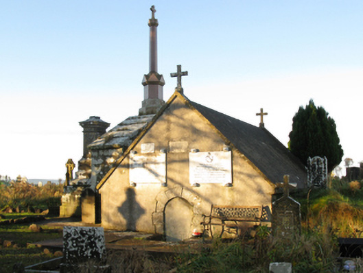 mausoleummausoleum · 468 yd
 bridgebridge · 626 yd
 Procession Of The SoulsMemorial · 931 yd
 Brabazon WoodsForest · 1251 yd
 IndicatedFairy fort / earthen ringfort · 1350 yd
 ToberbrideHoly well · 1452 yd
 Youth Memorial GardenMemorial · 1627 yd
 HawthornHawthorn · 2.5 mi
 Castle (in Ruins)Castle, unclassified · 2.8 mi
 Hennigan's Heritage CentreHeritage attraction · 2.9 mi
 Thorn CaveCave · 4.0 mi
 Kiltimagh MuseumMuseum · 7.3 mi