What is recorded here
Situated on a slight natural rise, in a generally level paddock, surrounded by gently undulating pasture, c. 30m N of Rathcastle House. The monument is annotated on the 1837 ed. OS 6-inch map as ‘Cave’ where it is shown located to the immediate W of a ringfort (WM017-031----). It is clearly depicted on the revised 1913 ed. OS 25-inch map as a small rectangular-shaped area (approx. dims. 3.1m NW-SE; 2.5m NE-SW) forming part of the field boundary, to the immediate W of the ringfort. No surface remains visible during ASI field inspections of 1965 or 1975 by which time it may have been backfilled or obscured by vegetation.
Compiled by: Alison McQueen, Vera Rahilly and Caimin O’Brien
Date of upload: 03 December 2018
The monument record does not grant public access. Check the route and ask the landowner before entering private land.
- What survives
- Recorded monument
Places near here
 Rathcastle Househouse · 64 yd
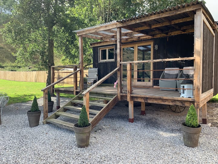 Hut site in BigfurzeHut site · 1127 yd
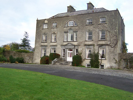 Mearscourt Housecountry house · 1151 yd
 Partially hachuredFairy fort / earthen ringfort · 1257 yd
 Milltown Castle in ruinsCastle, unclassified · 1.5 mi
 Site of CastleCastle, unclassified · 1.5 mi
 Ancient Ring FortWood · 1.9 mi
 Sessile OakSessile Oak · 3.1 mi
 Abbeyshrule AbbeyRuins · 4.2 mi
 Craft WorkshopHeritage attraction · 5.4 mi
 Guest ServicesVisitor information · 5.4 mi
 Noughaval CemeteryArchaeological place · 8.4 mi