What is recorded here
Described in 1946 as 'In the townland of Raheen, on the south side of the river. This fort (DG107-061) crowns a small hill, and appears to have consisted of five banks and four fosses, with a total diameter of approximately 280 feet. Immediately inside the inner bank, on the south west side, there is an opening to a Man-made underground passage, whether entrance or collapse is difficult to determine. The Man-made underground passage was walled with dry masonry, and roofed with slabs, section about 12" x 8". It is now almost full of earth and mud, but appears to run clockwise for some ten feet at present, but a depression at the base of the rampary some 15 feet from the present opening may indicated a collpase of the Man-made underground passage roofing' (Corlett 2006, 58-9).
The monument record does not grant public access. Check the route and ask the landowner before entering private land.
- What survives
- Recorded monument
Places near here
 Raheen FortFairy fort / earthen ringfort · 14 yd
 Enclosure in RaheenEnclosure · 433 yd
 Castle in ruinsCastle, unclassified · 890 yd
 Cathaleen's Fall Hydroelectric Power Stationhydroelectric power station · 985 yd
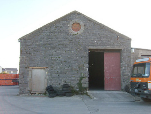 Ballyshannon Railway Stationstore/warehouse, goods shed · 1283 yd
 CastleCastle, unclassified · 1.1 mi
 St Anne's Church GraveyardGraveyard · 1.3 mi
 Belleek Pottery MuseumMuseum · 3.0 mi
 Belleek PotteryHeritage attraction · 3.1 mi
 Wardtown StrandBeach / strand · 3.1 mi
 HawthornHawthorn · 3.2 mi
 Tullan StrandBeach / strand · 3.3 mi