What is recorded here
Inside a large fort in Raheen, County Donegal, a narrow passage drops behind the inner bank. Dry stones and flat slabs built a tube wide enough for one person to crawl through before earth and mud buried most of it. The hole may have been an entrance or a collapse, but either way it suggests people once moved through darkness beneath the rampart.
Described in 1946 as 'In the townland of Raheen, on the south side of the river. This fort (DG107-061) crowns a small hill, and appears to have consisted of five banks and four fosses, with a total diameter of approximately 280 feet. Immediately inside the inner bank, on the south west side, there is an opening to a Man-made underground passage, whether entrance or collapse is difficult to determine. The Man-made underground passage was walled with dry masonry, and roofed with slabs, section about 12" x 8". It is now almost full of earth and mud, but appears to run clockwise for some ten feet at present, but a depression at the base of the rampary some 15 feet from the present opening may indicated a collpase of the Man-made underground passage roofing' (Corlett 2006, 58-9).
The monument record does not grant public access. Check the route and ask the landowner before entering private land.
- What survives
- Recorded monument
Places near here
 Raheen FortFairy fort / earthen ringfort · 14 yd
 Enclosure in RaheenEnclosure · 433 yd
 Castle in ruinsCastle, unclassified · 890 yd
 Cathaleen's Fall Hydroelectric Power Stationhydroelectric power station · 985 yd
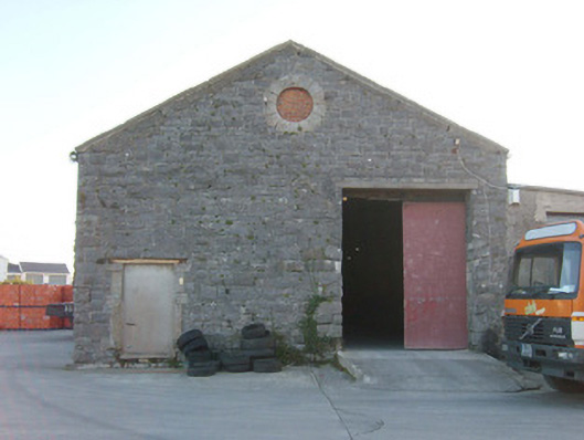 Ballyshannon Railway Stationstore/warehouse, goods shed · 1283 yd
 CastleCastle, unclassified · 1.1 mi
 St Anne's Church GraveyardGraveyard · 1.3 mi
 Belleek Pottery MuseumMuseum · 3.0 mi
 Belleek PotteryHeritage attraction · 3.1 mi
 Wardtown StrandBeach / strand · 3.1 mi
 HawthornHawthorn · 3.2 mi
 Tullan StrandBeach / strand · 3.3 mi