What is recorded here
In low-lying marginal land subject to flooding. This poorly preserved grassed-over circular mound (diam. 7.5m; H 1m) of earth and stone is revetted along the NE sector by six kerbstones and at W by a single kerbstone. It is overgrown with briars and thorn bushes at E. The mound contains a centrally placed drystone chamber (E-W; L 1.7m; Wth 0.8m), which is disturbed at W where a narrow opening under a roof lintel affords a partial view of the chamber. This roof lintel may have suggested that there was a Man-made underground passage here, which would explain why this was named 'Cave' on the OS 6-inch maps. The chamber is filled with clay almost to roof level. A displaced roof stone lies close by to the W. (McCaffrey 1952, 117, no. 26)
Compiled by: Galway Archaeological Survey, UCG
Date of upload: 14 November 2019
A Neolithic passage tomb; its location in flood-prone land suggests possible ritual or strategic significance.
The monument record does not grant public access. Check the route and ask the landowner before entering private land.
- What survives
- Recorded monument
Places near here
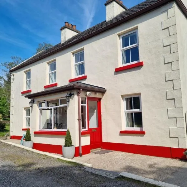 Enclosure in PalmerstownEnclosure · 225 yd
 IndicatedEnclosure · 275 yd
 Derrydonnell Castle (in ruins)Castle, tower house · 1473 yd
 TemplegalChurch · 1.0 mi
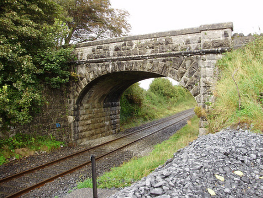 Derrydonnell Bridgebridge · 1.4 mi
 Bawn in MoyveelaBawn · 1.5 mi
 Loughaun WoodWood · 3.6 mi
 Kilcornan ForestWood · 3.9 mi
 Athenry AbbeyHeritage attraction · 4.0 mi
 Athenry CastleHeritage attraction · 4.1 mi
 First Battle of Athenrybattle · 4.2 mi
 Rabbit IslandIslet · 7.2 mi