What is recorded here
In pasture, located on a gentle W-facing slope. Not indicated on the 1838 OS 6-inch map; marked as ‘Cave’ on the 1930 edition. There is no visible trace at surface ground level. According to local information, a telegraph pole, a few meters N of the S boundary of the field, is said to stand close to the location of the Man-made underground passage, and a rise in the field in this area was levelled out in the early 1990’s. According to local tradition, the Man-made underground passage passage extended to the E.
Compiled by: Jane O’Shaughnessy
Date of upload: 1 April 2020
This remains an important historical record, but the official description says the monument is no longer visible or has been destroyed. The monument record does not grant public access. Check the route and ask the landowner before entering private land.
- What survives
- No visible remains or recorded as destroyed
Places near here
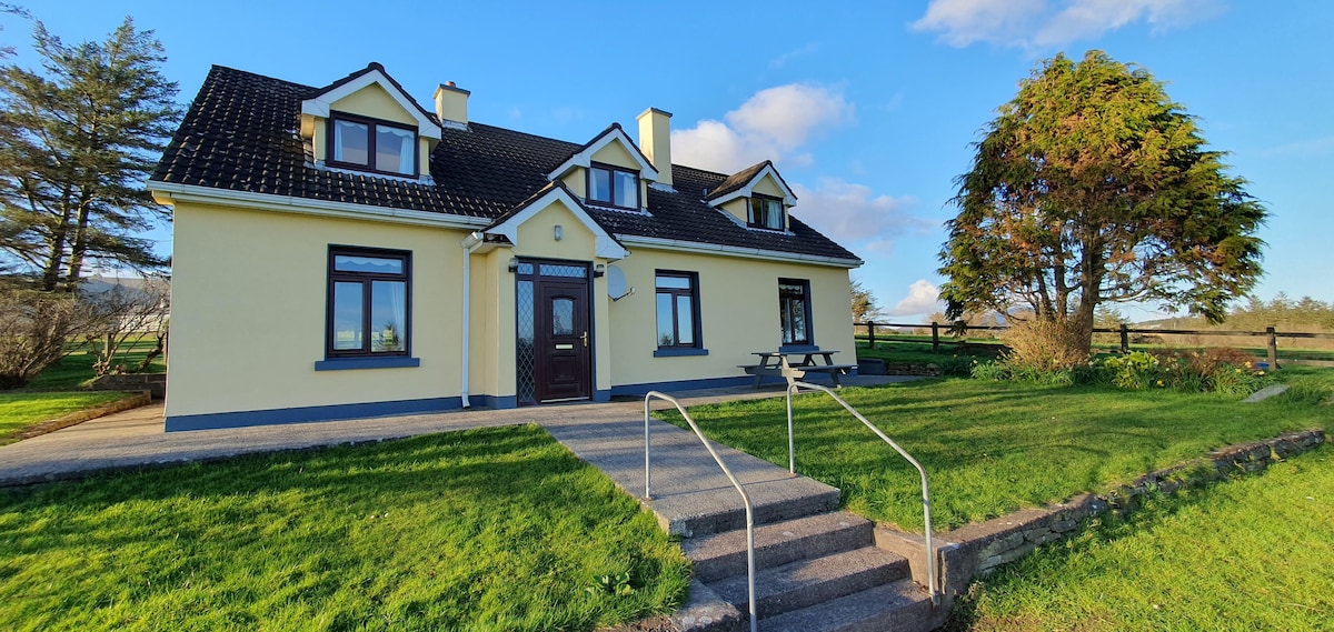 Dermot & Grania's BedArchaeological place · 425 yd
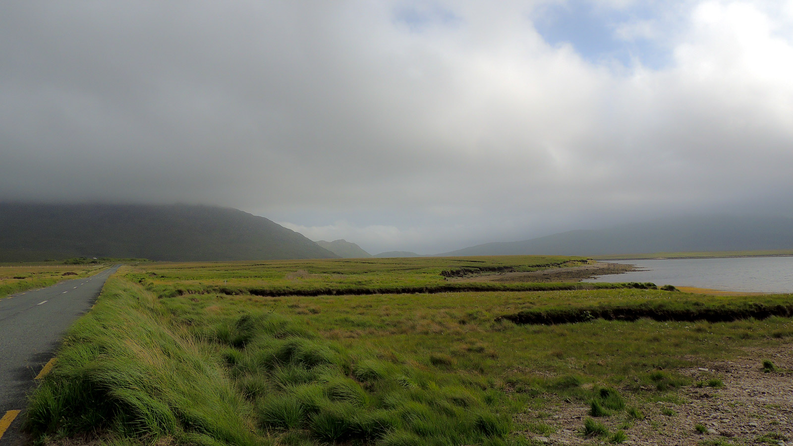 IndicatedEnclosure · 1506 yd
 farm housefarm house · 1.2 mi
 Catholic Church of the Immaculate Conception and Saint Josephchurch/chapel · 1.5 mi
 Castle (in ruins)Castle, unclassified · 2.7 mi
 Gull IslandIslet · 2.8 mi
 Humbert MonumentMemorial · 4.0 mi
 Belleck CastleCastle, unclassified · 4.1 miBattle of Ballinabattle · 4.3 mi
 The Marshall Doran CollectionGallery · 4.9 mi
 FloretteWreck · 5.1 mi
 Belleek WoodsWood · 5.1 mi