What is recorded here
In an area of recently reclaimed scrub and rock outcrop, a disused stone quarry lies to W. Marked on 1st ed. of OS 6-inch map. Traditions of its existence are still alive locally. It was apparently filled in during recent land reclamation. It is unclear whether it is artificial or natural.
The above description is derived from the published 'Archaeological Inventory of County Galway Vol. II - North Galway'. Compiled by Olive Alcock, Kathy de hÓra and Paul Gosling (Dublin: Stationery Office, 1999).
Date of upload: 05 August 2010
The monument record does not grant public access. Check the route and ask the landowner before entering private land.
- What survives
- Recorded monument
Places near here
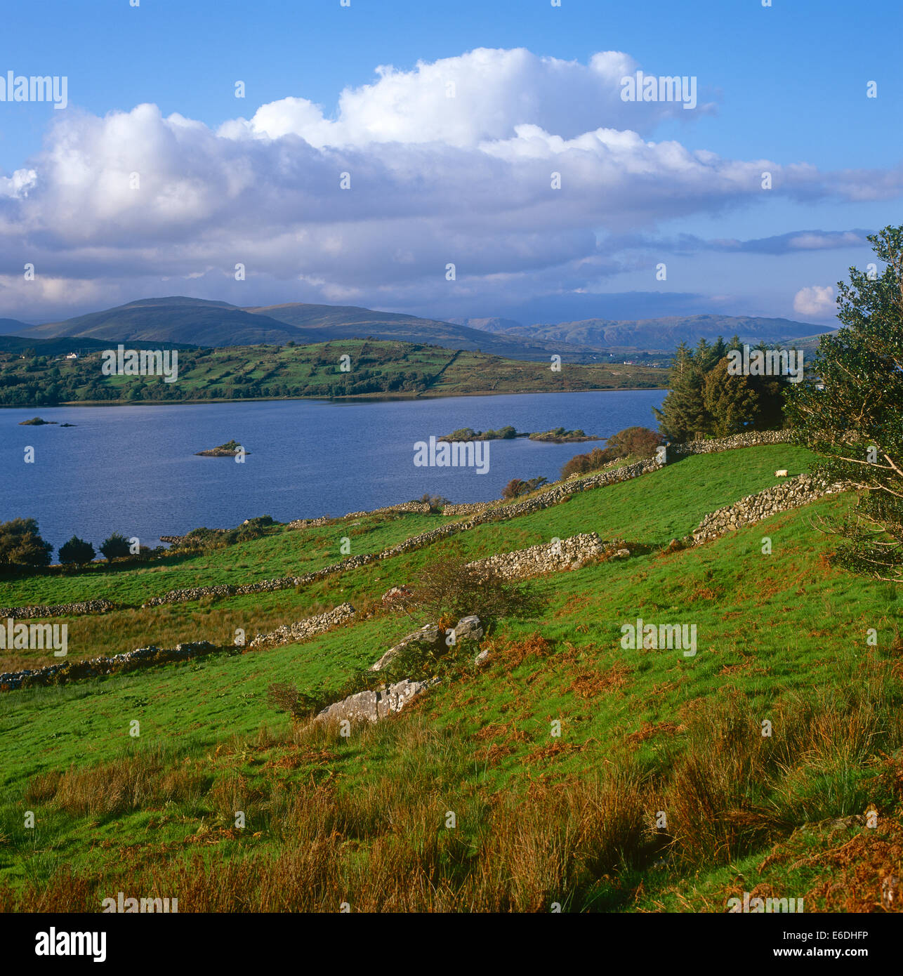 Quarry in CaltraghduffQuarry · 985 yd
 Ballyforan Bridgebridge · 1.2 mi
 Inch IslandIsland · 1.6 mi
 Enclosure in Inch IslandEnclosure · 1.6 mi
 LisgowlaArchaeological place · 1.7 mi
 Tower (in Ruins)Castle, tower house · 2.3 mi
 LismoneyForest · 4.2 mi
 Site of Ballygar CastleArchaeological place · 4.6 mi
 Sweet ChestnutSweet Chestnut · 4.9 mi
 Inchnaveague IslandIslet · 5.5 mi
 Mount MaryMountain / peak · 8.5 mi
 Kilconnell AbbeyHeritage attraction · 9.6 mi