What is recorded here
Associated with a possible rath (GA105-148----). Named 'Cave' but not indicated on the 1838 edition of the OS 6-inch map. No visible surface trace survives.
Compiled by: Galway Archaeological Survey, UCG
Date of upload: 29 July 2019
The monument record does not grant public access. Check the route and ask the landowner before entering private land.
- What survives
- Recorded monument
Places near here
 CaneArchaeological place · 830 yd
 Ladys WellHoly well · 862 yd
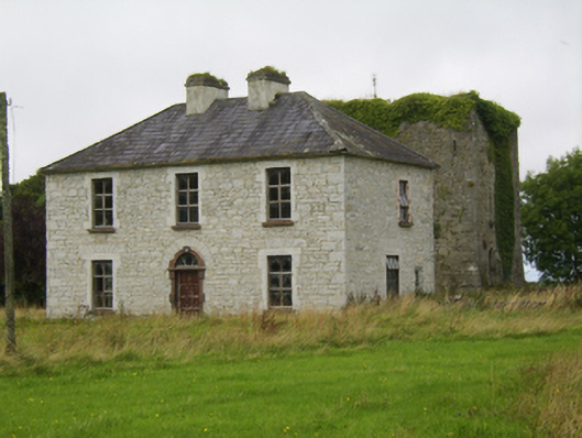 Ballybroder Househouse · 876 yd
 KilnKiln, lime · 1.1 mi
 Ballygasty Castle in ruinsCastle, unclassified · 1.4 mi
 Drought Castle (in Ruins)Castle, tower house · 2.1 mi
 Bush IslandIslet · 2.1 mi
 Middle IslandIslet · 2.1 mi
 Dartfield Horse MuseumHeritage attraction · 2.3 mi
 Long PointHeadland · 2.5 mi
 Turoe StoneHeritage attraction · 2.8 mi
 Quarryhill WoodWood · 8.6 mi