What is recorded here
Clear water flowed through Chamber 2, filled the narrow creepway, then forced the completed ringfort to drown. That is why the finished chamber is larger, the entrance disappeared under water and the completed place became a cave instead of an ordinary house.
In ringfort (MA121-112001-). Two stone-built chambers connected by creepway, accessed through hole in roof of Chamber 2. Chamber 1 (L 4.7m; H 0.24m - 1.36m; Wth 1.3m), orientated E-W, capped by at least five lintels, contains infill at E end which may have been position of original entrance. At W end of S wall is lintelled doorway (H 0.6m; Wth 0.8m) leading to creepway (L 2.3m; H 0.6m; Wth 0.9m), orientated N-S. Sill stone entrance at S end leading to Chamber 2. Chamber 2 (L 9.6m; H 1.7m; Wth 1.5m), orientated E-W, has been dug into in parts.
The above description has been derived from D. Lavelle (compiler), An Archaeological Survey of Ballinrobe and District including Lough Mask and Lough Carra. Lough Mask and Lough Carra Tourist Development Association (1994), No. 524.
Date of upload: 12 January 2015
The monument record does not grant public access. Check the route and ask the landowner before entering private land.
- What survives
- Recorded monument
Places near here
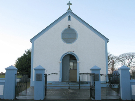 Catholic Church of the Assumptionchurch/chapel · 343 yd
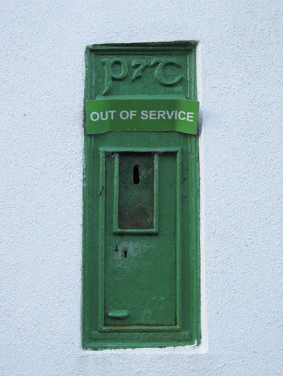 post boxpost box · 349 yd
 IndicatedFairy fort / stone ringfort · 391 yd
 Bawn in Kilkeeran (kilmaine By., Kilmainebeg Par.)Bawn · 1020 yd
 Enclosure in FountainhillEnclosure · 1.0 mi
 Mocorha CastleCastle · 1.4 mi
 Cregg PlantationForest · 3.2 mi
 Gibbs IslandsIslet · 3.5 mi
 Pesooge PlantationForest · 3.7 mi
 Matthew IslandIslet · 4.2 mi
 Ross Errilly FriaryHeritage attraction · 4.9 mi
 LabbadermotCave · 5.6 mi