What is recorded here
Some 70m to the SW of a church (GA122-101004-). Indicated and named 'Cave' in Roman script on the 1838 edition of the OS 6-inch map. According to local information, this possible Man-made underground passage was discovered during farm-building operations. On inspection no visible surface trace survived.
Compiled by: Galway Archaeological Survey, UCG
Date of upload: 9 October 2019
The monument record does not grant public access. Check the route and ask the landowner before entering private land.
- What survives
- Recorded monument
Places near here
 Castle in ruinsCastle, unclassified · 64 yd
 CaherlissanFairy fort / earthen ringfort · 933 yd
 IndicatedFairy fort / earthen ringfort · 1360 yd
 Mine in CaherglassaunMine · 1.0 mi
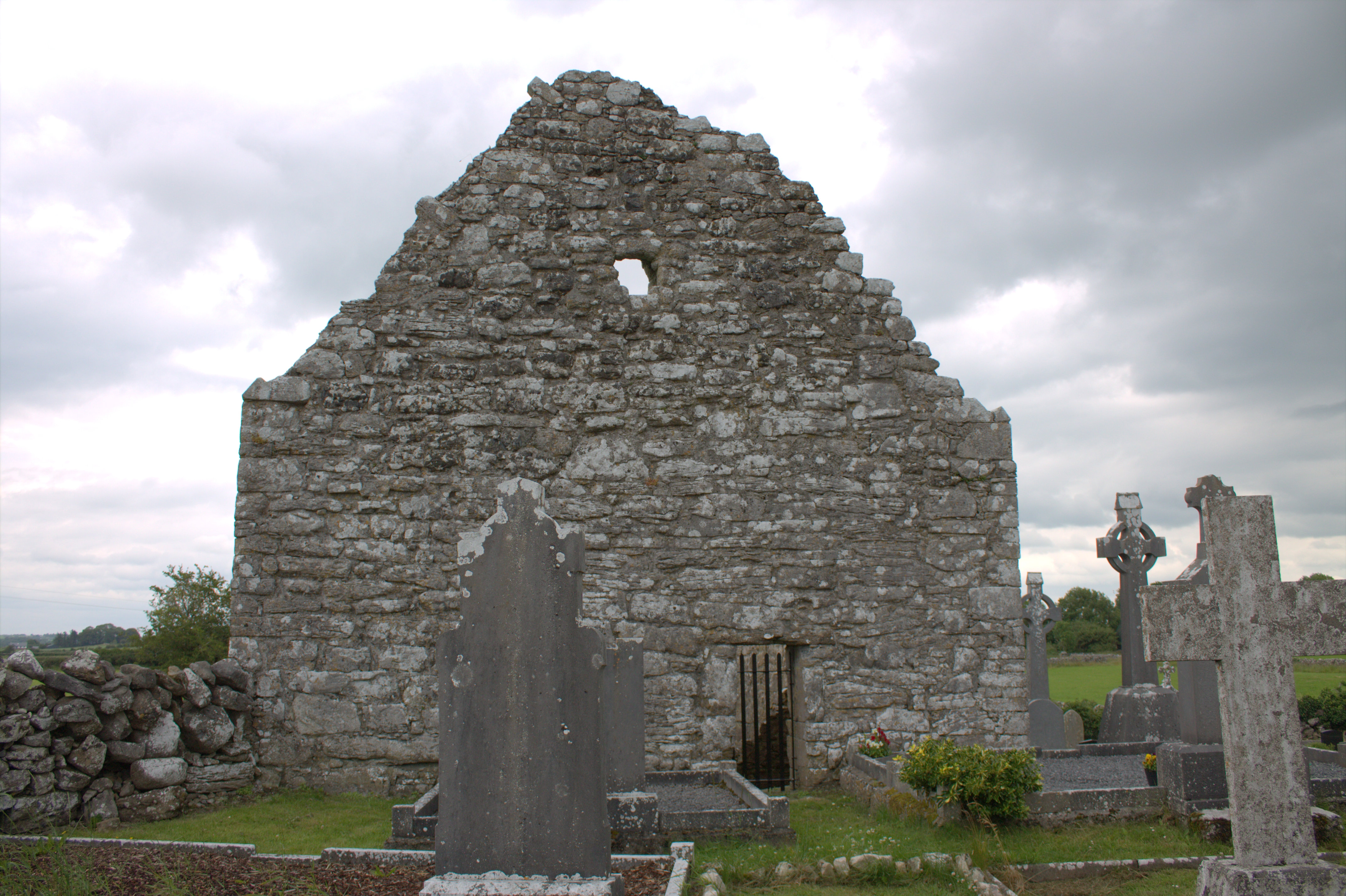 Killomoran Church (in ruins)Church · 1.2 mi
 Cahererillan CastleCastle · 1.5 mi
 Coole-Garryland Nature ReserveNature reserve · 2.3 mi
 Coole ParkWood · 2.9 mi
 Kilmacduagh Monastic SiteVisitor information · 3.4 mi
 Kilmacduagh MonasteryHeritage attraction · 3.5 mi
 Grave of Saint Mac Duagh's ServantArchaeological place · 3.8 mi
 Mulroney's IslandIslet · 4.2 mi