What is recorded here
Ballymaglancy Cave cuts seven hundred metres through Carboniferous limestone west of Cong, keeping a dark chamber for lesser horseshoe bats rather than people. The townland name points to the Clancy or Glancy family, while Pollwalter suggests a mill pond beside the underground passage. That is a cave built by water, named by neighbours, and still judged by the quiet life it protects.
Named 'Cave' on the 1838 edition of the OS 6-inch map and shown within the SW quadrant of a rath (GA098-106----). No visible surface trace survives.
Compiled by: Galway Archaeological Survey, UCG
Date of upload: 8 March 2019
The monument record does not grant public access. Check the route and ask the landowner before entering private land.
- What survives
- Recorded monument
Places near here
 Old ChapelChurch · 875 yd
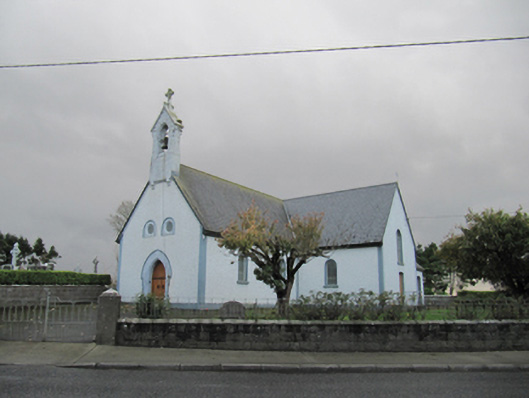 Catholic Church of Our Lady of Lourdeschurch/chapel · 890 yd
 Dartfield Horse MuseumHeritage attraction · 1496 yd
 TobermacduaghHoly well · 1709 yd
 Field system in BallynahistilField system · 1.1 mi
 Drought Castle (in Ruins)Castle, tower house · 1.1 mi
 Kilcooly Castle (in ruins)Castle, tower house · 1.8 mi
 Turoe StoneHeritage attraction · 4.8 mi
 Bush IslandIslet · 5.1 mi
 Middle IslandIslet · 5.1 mi
 Long PointHeadland · 5.1 mi
 Quarryhill WoodWood · 7.0 mi