What is recorded here
Situated on top of a low NE-SW ridge. A ‘Cave’ is depicted here on the 1836 and 1912 editions of the OS 6-inch map, but it was closed up in 1969 (SMR file). It was accidently re-opened in 2009 when a cavity (dims 1.5m x 1m) appeared, probably in the roof of a chamber, but it was too dangerous to explore.
The above description is derived from the published 'Archaeological Inventory of County Meath' (Dublin: Stationery Office, 1987). In certain instances the entries have been revised and updated in the light of recent research.
Compiled by: Michael Moore
Date of revision: 12 April 2019
The monument record does not grant public access. Check the route and ask the landowner before entering private land.
- What survives
- Recorded monument
Places near here
 CrossCross, Wayside cross · 1152 yd
 Fox CovertForest · 1173 yd
 Little Decoy WoodWood · 1414 yd
 Font in KnightstownFont · 1437 yd
 Church (in Ruins)Church · 1.2 mi
 Clongill CastleCastle, tower house · 1.3 mi
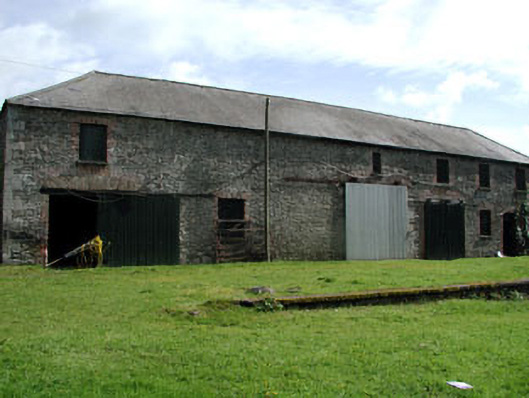 Shane Lodgeoutbuilding · 1.8 mi
 Drakerath CastleCastle, unclassified · 1.9 mi
 GravelstownMountain / peak · 2.6 mi
 BalreaskMountain / peak · 3.2 mi
 John Mac MahonMemorial · 3.7 mi
 Owenroe and Moynalty DrainageMemorial · 3.8 mi