What is recorded here
In the ENE sector of a rath (GA0106-060----). This drystone-built Man-made underground passage appears to be L-shaped in plan. The 1st passage (L >4.4m; Wth 1.6m) runs NW-SE. Access is gained at its NW end. A linear depression, with evidence of drystone-walling, indicates that that it extended further to the NW. The 2nd passage, which is inaccessible, extends from its SE end and it appears to run E-W.
Compiled by: Galway Archaeological Survey, UCG
Date of upload: 8 December 2017
The monument record does not grant public access. Check the route and ask the landowner before entering private land.
- What survives
- Recorded monument
Places near here
 Dartfield Horse MuseumHeritage attraction · 1060 yd
 Old ChapelChurch · 1151 yd
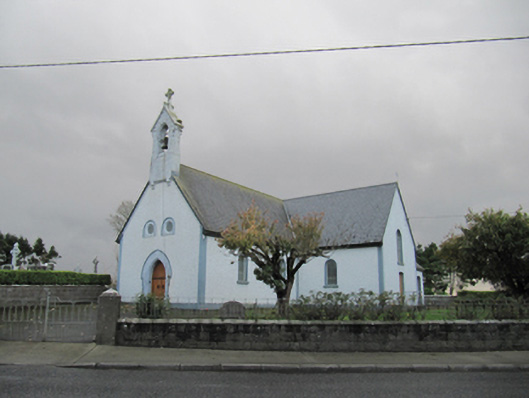 Catholic Church of Our Lady of Lourdeschurch/chapel · 1167 yd
 Drought Castle (in Ruins)Castle, tower house · 1514 yd
 TobermacduaghHoly well · 1.0 mi
 Field system in BallynahistilField system · 1.2 mi
 Kilcooly Castle (in ruins)Castle, tower house · 1.7 mi
 Turoe StoneHeritage attraction · 4.6 mi
 Bush IslandIslet · 4.8 mi
 Middle IslandIslet · 4.8 mi
 Long PointHeadland · 4.9 mi
 Quarryhill WoodWood · 7.1 mi