What is recorded here
A 'Cave' is named in Roman script but not indicated on the 3rd edition of the OS 6-inch map (1933). It may be located within or close to the cashel (GA096-066----) which is indicated immediately to its S on the map. Described in 1956 as 'a partially collapsed gallery about 30' long (L c. 9.2m)' (SMR file). However, in 1971 it was described as 'two hollows in the limestone' and because of the outcropping rock and lack of depth of soil in the area it was concluded that it most likely was a 'Natural Cave' (ibid.). Not located. (McCaffrey 1952, 154, no. 19a)
Compiled by: Galway Archaeological Survey, UCG
Updated by: Olive Alcock
Date of revised upload: 10 September 2019
The monument record does not grant public access. Check the route and ask the landowner before entering private land.
- What survives
- Recorded monument
Places near here
 IndicatedFairy fort / stone ringfort · 29 yd
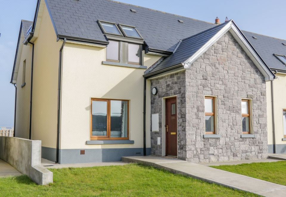 CahermoreFairy fort / stone ringfort · 1067 yd
 TemplegalChurch · 1147 yd
 Bawn in MoyveelaBawn · 1199 yd
 Derrydonnell Castle (in ruins)Castle, tower house · 1490 yd
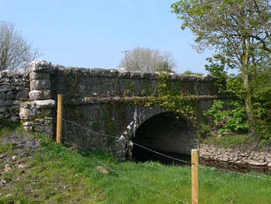 Whistle Bridgebridge · 1633 yd
 Kilcornan WoodWood · 2.5 mi
 Loughaun WoodWood · 3.2 mi
 Athenry AbbeyHeritage attraction · 3.6 mi
 Athenry CastleHeritage attraction · 3.7 mi
 First Battle of Athenrybattle · 4.1 mi
 Rabbit IslandIslet · 8.1 mi