What is recorded here
On a gentle slope, above a stream to E and NE. A broken-out entrance leads to an oval chamber (max. dims. 3m N-S; 2m E-W), built of slightly corbelled drystone-walling and roofed by large flat stone lintels. A silted-up creepway to a passage is visible at the NE side of the chamber. According to local information, 'ashes and burnt stones' were noted in the vicinity of the Man-made underground passage when the field was ploughed.
The above description is derived from the published 'Archaeological Inventory of County Sligo' compiled by Ursula Egan, Elizabeth Byrne, Mary Sleeman with Sheila Ronan and Connie Murphy (Dublin Stationery Office, 2005).
Date of upload: 18 January 2008
The monument record does not grant public access. Check the route and ask the landowner before entering private land.
- What survives
- Recorded monument
Places near here
 Hachured (1838).Fairy fort / earthen ringfort · 856 yd
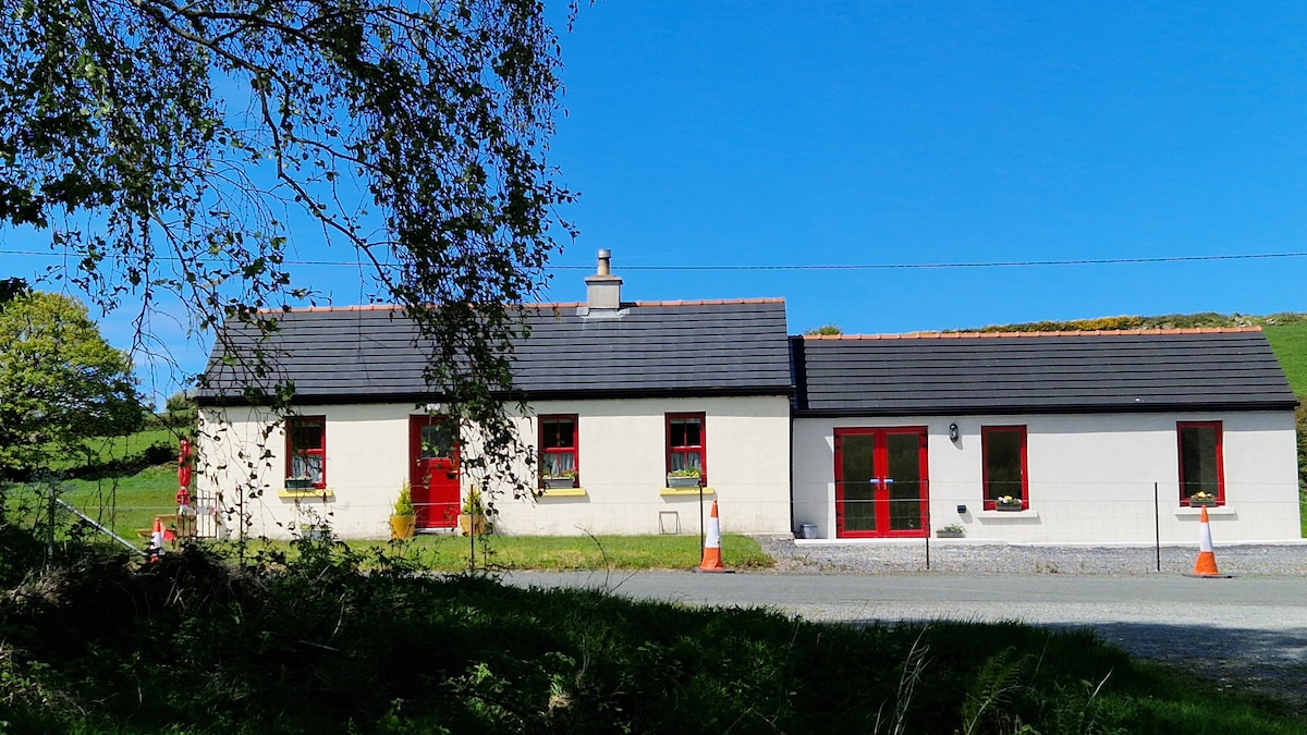 Hut site in CarnyaraHut site · 1112 yd
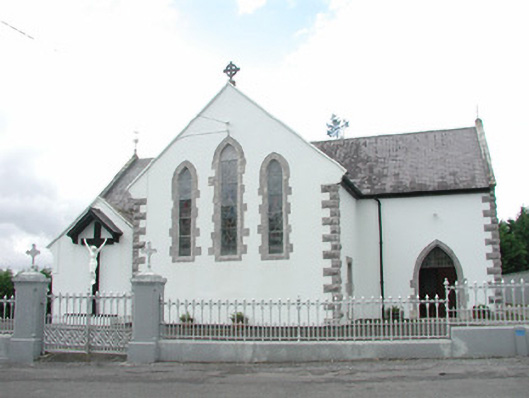 Catholic Church of the Sacred Heartchurch/chapel · 1155 yd
 Carrowmore National Schoolschool · 1501 yd
 KnocknasheeMountain / peak · 1.2 mi
 Muckelty HillMountain / peak · 2.0 mi
 CastleCastle, unclassified · 2.2 mi
 European ashEuropean ash · 4.4 mi
 The Turf Stack RockNamed rock · 4.4 mi
 Ballyara Castle (in Ruins)Castle, unclassified · 4.6 mi
 ElderElder · 4.7 mi
 White RockNamed rock · 6.4 mi