What is recorded here
A 'Cave', probably a Man-made underground passage, is marked within Cashelgarran cashel (SL005-115001-) on the 1912 edition of the OS 6-inch map. No remains of this feature were identified at ground level. A fieldworker who inspected the cashel in 1991 recorded that it was densely overgrown and inaccessible (SMR file). That is still the case. It may be for this reason that the Man-made underground passage was not located.
Compiled by: Patrick F. O'Donovan
Date of upload: 29 April 2013
The monument record does not grant public access. Check the route and ask the landowner before entering private land.
- What survives
- Recorded monument
Places near here
 CashelgarranFairy fort / stone ringfort · 313 yd
 Enclosure in RahellyEnclosure · 522 yd
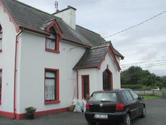 Rahelly Housegate lodge · 1198 yd
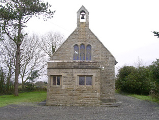 Saint Kevin's Church (Drumcliff)church/chapel · 1414 yd
 Cat CornerWood · 1.0 mi
 Shepherd's FlatWood · 1.2 mi
 Castle (in Ruins)Castle, unclassified · 1.8 mi
 BenbulbinMountain / peak · 2.0 mi
 Atlantic SheepdogsHeritage attraction · 2.2 mi
 Finned PointHeadland · 2.2 mi
 BenbulbenMountain · 2.3 mi
 CastleCastle, unclassified · 2.4 mi