What is recorded here
A small opening to a Man-made underground passage passage is located on each side of the garden's boundary wall. The passage appears to be aligned NE-SW, but an accumulation of fill at either opening prevents access.
The above description is derived from A. O'Sullivan and J. Sheehan (compilers), 'The Iveragh peninsula: an archaeological survey of South Kerry'. Cork University Press (1996), no. 647. In certain instances the entries have been revised and updated in the light of recent research.
Date of upload: 29 July 2013
The monument record does not grant public access. Check the route and ask the landowner before entering private land.
- What survives
- Recorded monument
Places near here
 Owing (Site of)Fairy fort / earthen ringfort · 254 yd
 Templenoe Churchchurch/chapel · 577 yd
 Cappanacush Castle (ruins)Castle · 672 yd
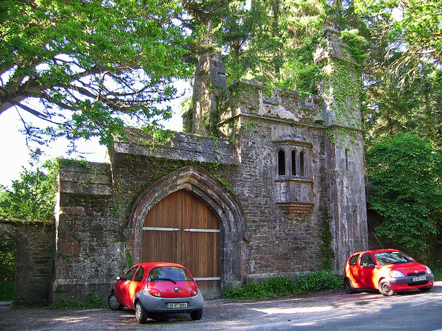 Dromore Castlegate lodge · 767 yd
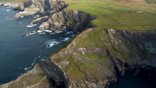 Indicated (1846).Enclosure · 791 yd
 Coss StrandBeach / strand · 1078 yd
 Dinish IslandIslet · 2.1 mi
 Dunkerron Island WestIslet · 2.1 mi
 Lackeen PointHeadland · 2.6 mi
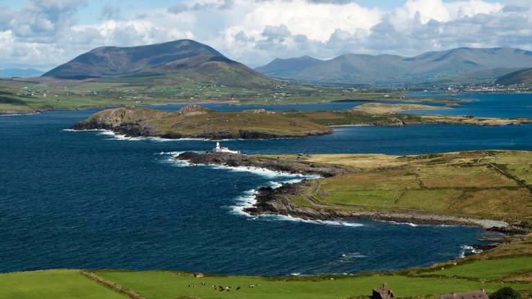 Letter SouthMountain / peak · 2.8 mi
 Dunkerron CastleCastle · 3.1 mi
 Feorus EastMountain / peak · 3.5 mi