What is recorded here
An inconspicuous opening on the mound's NE side, marked by a roofing lintel, leads into a Man-made underground passage passage (KE106-067001-), titled 'Cave' on the OS maps, that appears to extend to W. The passage is blocked by an accumulation of modern domestic debris.
The above description is derived from A. O'Sullivan and J. Sheehan (compilers), 'The Iveragh peninsula: an archaeological survey of South Kerry'. Cork University Press (1996), no. 715. In certain instances the entries have been revised and updated in the light of recent research.
Date of upload: 29 July 2013
The monument record does not grant public access. Check the route and ask the landowner before entering private land.
- What survives
- Recorded monument
Places near here
 CaherereganaghFairy fort / stone ringfort · 4 yd
 CaherdanielFairy fort / stone ringfort · 387 yd
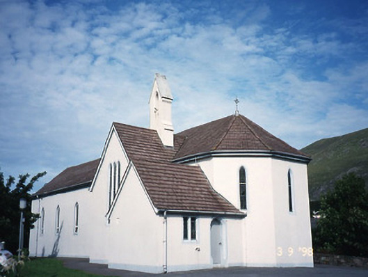 Saint Crohan's Catholic Churchchurch/chapel · 518 yd
 Ogham StoneVisitor information · 1188 yd
 Trá An Ráth / Rath BeachBeach / strand · 1676 yd
 Teach Dhoire Fhíonáin [Derrynane House]country house · 1.1 mi
 Derrynane House / Teach Dhoire FhionáinHeritage attraction · 1.1 mi
 Páirc Náisiúnta Stairiúil Dhoire Fhíonáin / Derrynane National Historic ParkNature reserve · 1.2 mi
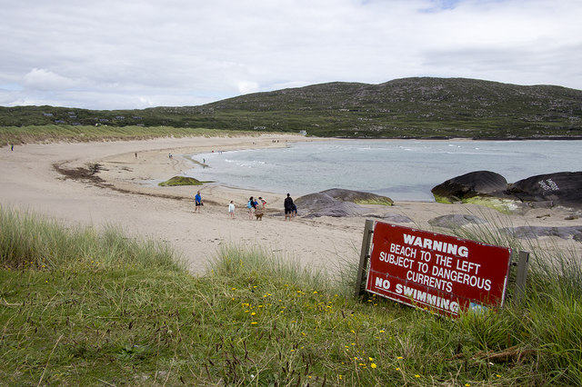 Derrynane Beach / Trá Doire FhíonáinBeach / strand · 1.2 mi
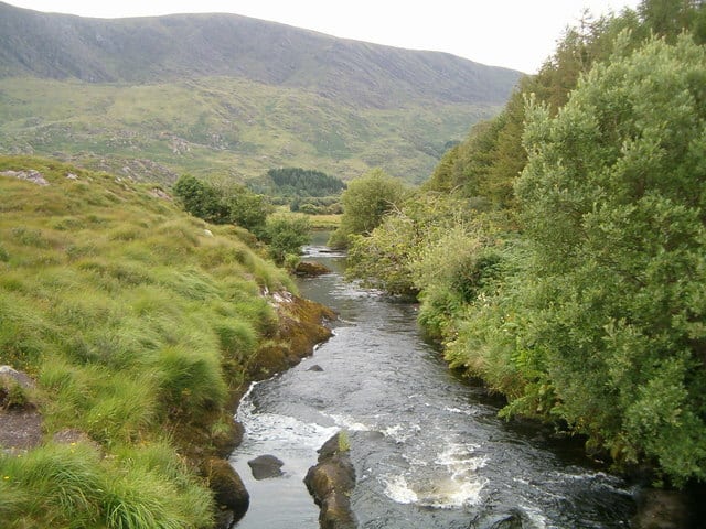 Eagle HillMountain / peak · 1.2 mi
 Cahernageeha MountainMountain / peak · 1.3 mi
 Abbey IslandIslet · 1.9 mi