What is recorded here
In undulating pastureland. When initially visited by the Survey in March 1983, this Man-made underground passage consisted of a
drystone-built chamber (L 4.6m; Wth 1.6m) running NW-SE. Access was gained via an opening at the SE end. There was some collapse at the NW end but beyond this more roof lintels indicated the possible presence of a creep and a second chamber. The chamber was subsequently filled in during land reclamation and no visible surface trace survives. (McCaffrey 1952, 212, no. 42)
Compiled by: Galway Archaeological Survey, UCG
Date of upload: 6 September 2019
The monument record does not grant public access. Check the route and ask the landowner before entering private land.
- What survives
- Recorded monument
Places near here
 Dermot & Grania's BedArchaeological place · 340 yd
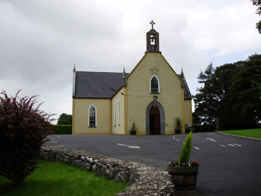 Saint Killian's Catholic Churchchurch/chapel · 895 yd
 Ballymanagh Ho.House, 18th/19th century · 900 yd
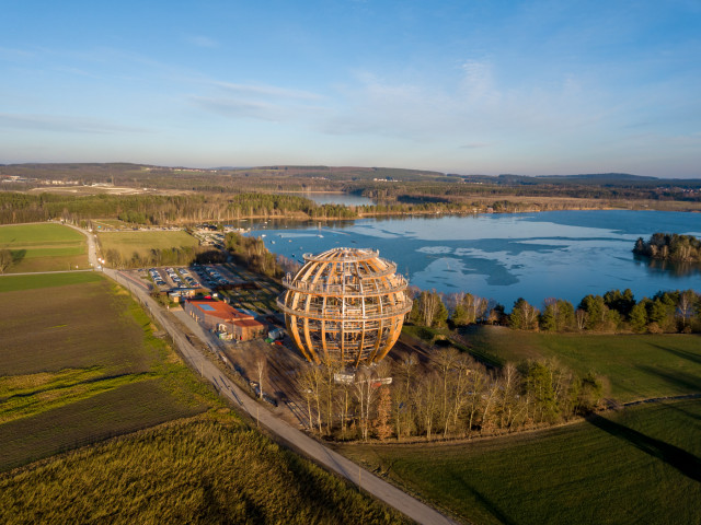 Field system in BallynascraghField system · 1001 yd
 CarnanthomasCastle, unclassified · 1094 yd
 Cregg Castle (in ruins)Castle, tower house · 1.2 mi
 Moyard WoodWood · 4.1 mi
 Blake's IslandIslet · 4.7 mi
 Ash IslandIslet · 5.1 mi
 Kilcornan ForestWood · 6.8 mi
 Drumacoo Monastic SiteHeritage attraction · 8.4 mi
 KnocknarebanaMountain / peak · 9.4 mi