What is recorded here
Ballymaglancy Cave cuts seven hundred metres through Carboniferous limestone west of Cong, preserving a dark chamber where lesser horseshoe bats still ride the air. The townland name points to a family called Clancy or Glancy, while Pollwalter recalls a mill pond whose water may have fed the passage long before people measured it. Keep its doors closed and its quiet intact, because the bats need that darkness more than visitors need a photograph.
Within the N sector of a levelled rath (GA104-029001-). Only the blocked-up entrance to the Man-made underground passage is visible. It appears to run E-W. (McCaffrey 1952, 212, no. 43)
Compiled by: Galway Archaeological Survey, UCG
Date of upload: 22 December 2016
The monument record does not grant public access. Check the route and ask the landowner before entering private land.
- What survives
- Recorded monument
Places near here
 Dermot & Grania's BedArchaeological place · 620 yd
 CarnanthomasCastle, unclassified · 906 yd
 Enclosure in ColesgroveEnclosure · 980 yd
 Ballymanagh Ho.House, 18th/19th century · 1116 yd
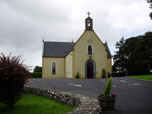 Saint Killian's Catholic Churchchurch/chapel · 1192 yd
 Roo Castle (in ruins)Castle, tower house · 1.2 mi
 Moyard WoodWood · 3.9 mi
 Blake's IslandIslet · 4.8 mi
 Ash IslandIslet · 5.2 mi
 Kilcornan ForestWood · 6.7 mi
 Drumacoo Monastic SiteHeritage attraction · 8.4 mi
 KnocknarebanaMountain / peak · 9.7 mi