What is recorded here
Catchpenny to Butterstone Path is recorded as a named walking route on the public map.
A mapped walking route does not guarantee present access or safe conditions. Check signs, closures and the weather before setting out.
Places near here
 LaighwoodCup Marked Stone (prehistoric) · 707 yd
 ButterstoneFarmstead (period Unassigned) · 848 yd
 CatchpennyFarmstead (period Unassigned) · 1282 yd
 Loch of LowesLeaf Arrowhead (flint)(prehistoric) · 1.1 mi
 Loch of the LowesHeritage attraction · 1.6 mi
 Craig MoreMountain / peak · 1.7 mi
 Crieff HillMountain / peak · 2.0 mi
 Birnam RiversideWood · 2.6 mi
.jpg?width=1280) The Birnam OakHeritage attraction · 2.6 mi
The Birnam OakHeritage attraction · 2.6 mi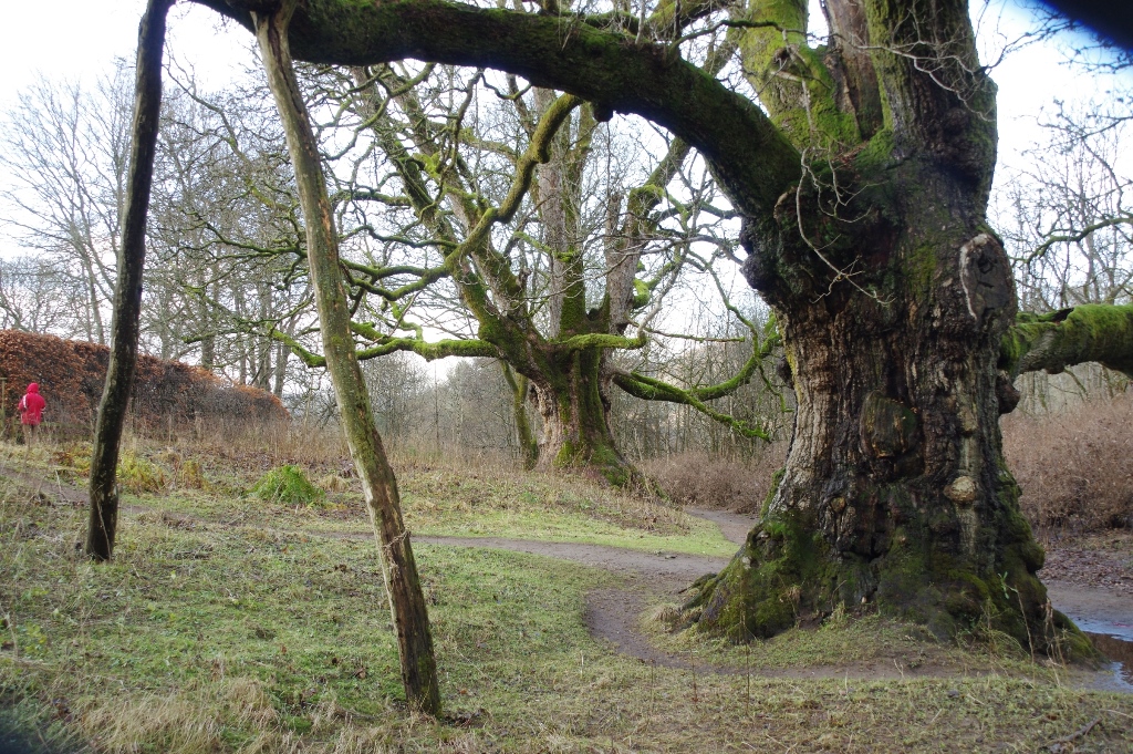 The Young PretenderSycamore · 2.6 mi
 Birnam HotelMemorial · 2.8 mi
 Inchewan BurnMemorial · 2.8 mi