
What is recorded here
Scotland's National Record of the Historic Environment records Butterstone as Farmstead (period Unassigned). The official map says its point is accurate as follows: NGR given to the nearest 10m. The record does not by itself mean that the public may enter the place.
The historic-place record does not grant public access. Check current conditions and ownership before entering land or a building.
Places near here
 Over CardneyBuilding(s) (medieval) - (post Medieval) · 1149 yd
 LaighwoodBurial Ground (medieval), Castle (medieval), Chapel (medieval) · 1588 yd
 MacmaridgeBuilding (medieval) - (post Medieval), Enclosure (medieval) - (post Medieval) · 1666 yd
 RiechipCottage (period Unassigned), Garden (period Unassigned) · 1.1 mi
 Loch of LowesLeaf Arrowhead (flint)(prehistoric) · 1.4 mi
 Craig MoreMountain / peak · 1.4 mi
 Loch of the LowesHeritage attraction · 1.9 mi
 Crieff HillMountain / peak · 2.1 mi
 Birnam RiversideWood · 2.9 mi
_-_geograph.org.uk_-_3992477.jpg?width=1280) The Royal HotelMemorial · 2.9 mi
The Royal HotelMemorial · 2.9 mi.jpg?width=1280) The Birnam OakHeritage attraction · 3.0 mi
The Birnam OakHeritage attraction · 3.0 mi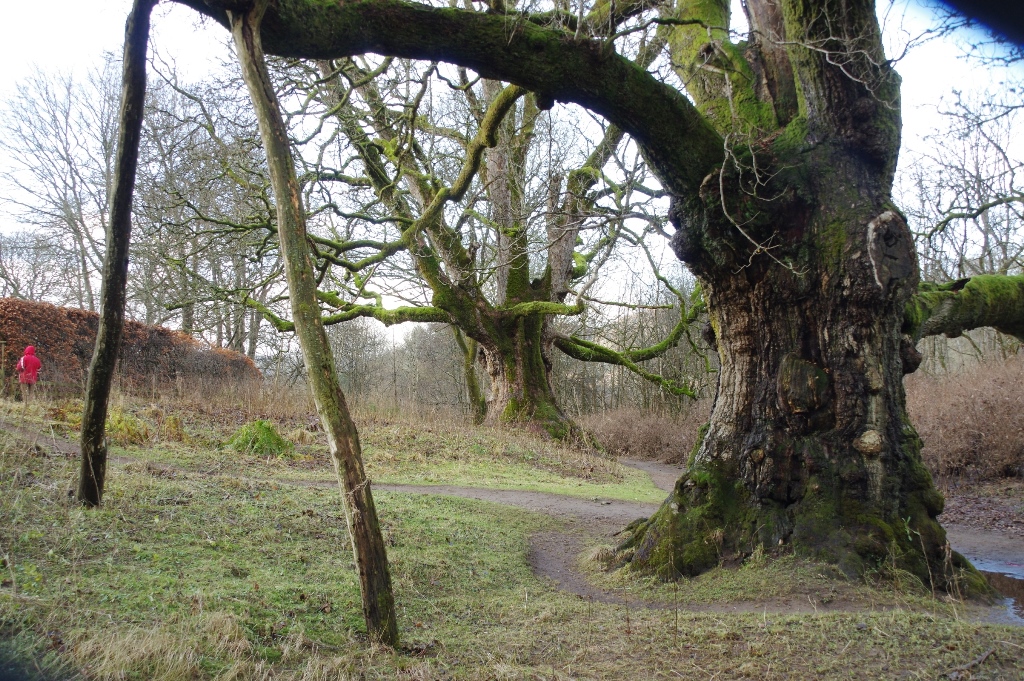 The Young PretenderSycamore · 3.0 mi
Other information
Photo: Dave Fergusson · CC BY-SA 2.0