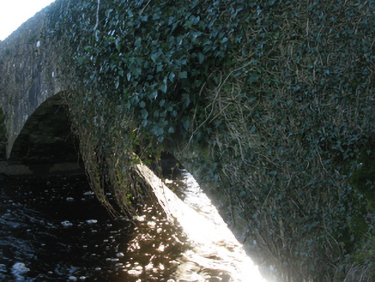
What is recorded here
Single-arch road bridge over river, extant 1838. Now disused. Creeper- or ivy-covered walls with overgrown coping to parapets. Single segmental arch with limestone ashlar voussoirs. Set in unkempt grounds shared with Castlemacgarrett spanning Robe River with overgrown banks to river.
A bridge contributing positively to the group and setting values of the Castlemacgarrett estate with the architectural value of the composition, one annotated as "Linden's Bridge" on the third edition of the Ordnance Survey (surveyed 1925; published 1930), confirmed not only by the sheer limestone dressings demonstrating good quality workmanship, but also by the elegant "sweep" of the arch making a pleasing visual statement at a crossing over the Robe Rive.
This does not grant access. Most recorded buildings are privately owned; view them only from public ground unless the owner allows entry.
Places near here
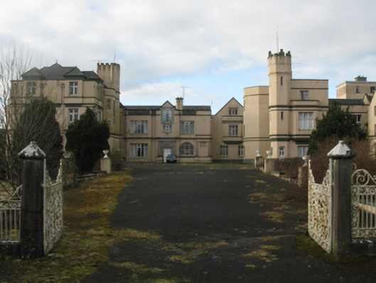 Castlemacgarrettcountry house · 415 yd
 Castlemacgarrett HouseCastle · 428 yd
 Oak WoodForest · 442 yd
 Castlekeel (in ruins)Castle, unclassified · 668 yd
 Enclosure in Castlemagarretpark NewEnclosure · 855 yd
 Enclosure in Derry (clanmorris By., Crossboyne Par.)Enclosure · 1243 yd
 Geoffrey's WoodForest · 1260 yd
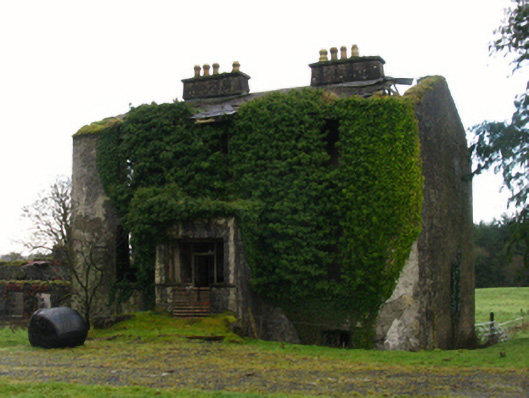 rectory/glebe/vicarage/curate's houserectory/glebe/vicarage/curate's house · 1415 yd
 Land of the GiantsHeritage attraction · 2.0 mi
 Bawn in Castlemagarretpark OldBawn · 832 yd
 CastlemagarretCastle · 835 yd
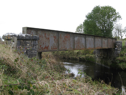 bridgebridge · 1561 yd
Other information
Photo: National Inventory of Architectural Heritage · Website use allowed for educational or private purposes with source credit