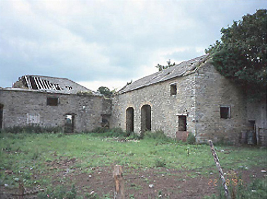
What is recorded here
Stable complex, c. 1810, comprising group of detached rubble sandstone outbuildings. Now in ruins. Site of Castlecuffe to site. Castlecuffe now demolished. Gateway to site comprising sandstone piers with wrought-iron gates.
This does not grant access. Most recorded buildings are privately owned; view them only from public ground unless the owner allows entry.
Places near here
 Castle Cuffe (ruins)Castle · 106 yd
 Partiall hachuredBawn · 1021 yd
 Enclosure in CastlecuffeEnclosure · 1054 yd
 RaheenFairy fort / earthen ringfort · 1529 yd
 Kilmanman church (in Ruins), GraveyardChurch · 1.5 mi
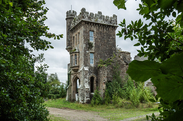 Brittas HouseRuins · 1.7 mi
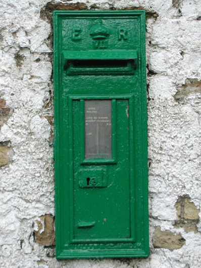 post boxpost box · 1.9 mi
 Church (in Ruins), Graveyard, CarrigeenChurch · 2.1 mi
 Giant's Grave LoopWalking route · 3.2 mi
 Slieve Bloom MountainsMountain range · 3.6 mi
 Mullagh HillMountain / peak · 4.2 mi
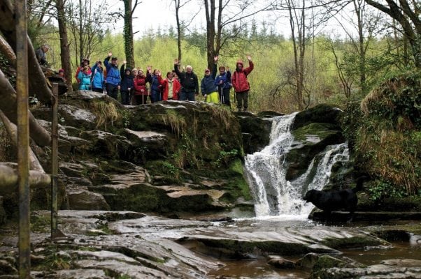 Slieve Bloom WayWalking route · 4.3 mi
Other information
Photo: National Inventory of Architectural Heritage · Website use allowed for educational or private purposes with source credit