
What is recorded here
Castlebane Stone Ringfort occupies a steep Donegal slope where a collapsed stone wall still marks a subrectangular boundary. Its exact entrance has vanished into grass, gap and forgotten field work, but the shape remains large enough to have held lives, fears or festivities. The fort does not need a grand claim; it preserves the moment when people judged that place worth enclosing.
Dimensions 28m NE-SW, 37m NW-SE. A subrectangular area enclosed on all but its NE side by a grass-grown, collapsed stone wall up to 7m in width and 0.5m in height. A light scatter of stones and a modern field wall to the NE may be the remains of the enclosing element here. There are a number of gaps in the wall but it is not clear which if any of them might have been the entrance. It is located at the top edge of a steep NE facing slope.
The above description was derived from the 'Archaeological Survey of County Donegal. A description of the field antiquities of the County from the Mesolithic Period to the 17th century.' Compiled by: Brian Lacey with Eamon Cody, Claire Cotter, Judy Cuppage, Noel Dunne, Vincent Hurley, Celie O'Rahilly, Paul Walsh and Seán Ó Nualláin (Lifford: Donegal County Council, 1983). In certain instances the entries have been revised and updated.
Date of upload: 22 September 2008
The monument record does not grant public access. Check the route and ask the landowner before entering private land.
- What survives
- Recorded monument
Places near here
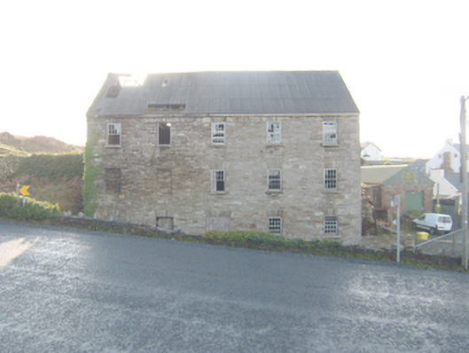 The Carriage Hostelmill (water) · 376 yd
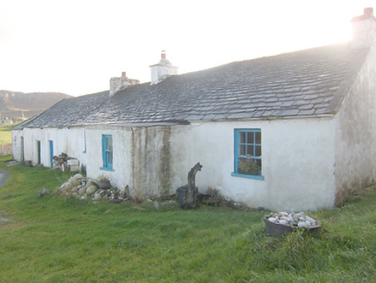 The Rockhouse · 476 yd
 Altar (Site of)Penal Mass station · 751 yd
 Murroe Hilltop EnclosureEnclosure · 823 yd
 Local Wildlife presentationVisitor information · 1352 yd
 Boys IslandIslet · 1.0 mi
 Tramore StrandBeach / strand · 1.1 mi
 Kill Old Church GraveyardGraveyard · 1.5 mi
 Castle (Site of)Castle, unclassified · 1.6 mi
 Cliffs near Pollaguill BayPublicly named cliff or headland · 1.7 mi
 Mc Swyne's GunHeritage attraction · 1.7 mi
 Trá Phoill a GhuillBeach / strand · 1.9 mi
Other information
Photo: Credit not shown in the picture search · Rights wording not checked; contact us if this picture should be removed