
What is recorded here
No wall, gate or chamber survives to mark the castle in Saul. The name floats above County Down like a rumor, neither proven nor dismissed, waiting for soil and stone to give it shape. What is certain is the absence: a castle recorded but never placed, present in language and absent from the ground.
The official Northern Ireland record identifies this as CASTLE (unlocated). Recorded period: UNCERTAIN; LATE-MED. The official map point was placed at the centre of the recorded archaeological site from the source map reference.
The monument record does not grant public access. Check the route and ask the landowner before entering private land.
- What survives
- Recorded monument
Places near here
 ABBEY; GRAVEYARD; MORTUARY HOUSES; COFFIN LID etc. : SAUL ABBEY in SaulABBEY; GRAVEYARD; MORTUARY HOUSES; COFFIN LID etc. : SAUL ABBEY · 69 yd
 Quoile PondageVisitor information · 1430 yd
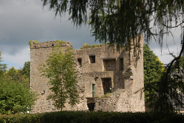 TOWER-HOUSE: QUOILE CASTLE in QuoileTOWER-HOUSE: QUOILE CASTLE · 1534 yd
 Steamboat QuayMemorial · 1689 yd
 CHURCH (site of): CARRIGOGANTELAN in CraigoganletCHURCH (site of): CARRIGOGANTELAN · 1.0 mi
 ENCLOSURE? possibly natural in BallintogherENCLOSURE? possibly natural · 1.3 mi
 Quoile BridgeBridge · 1.3 mi
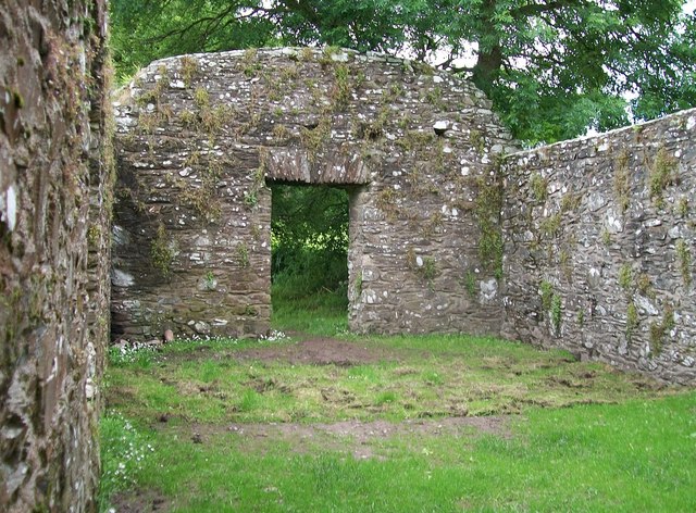 CHURCH, HOLY WELLS & BATH HOUSES: STRUELL WELLS in StruellCHURCH, HOLY WELLS & BATH HOUSES: STRUELL WELLS · 1.4 mi
 Ringmore BayBay · 1.4 mi
 Portulla WoodWood · 1.5 mi
 Ringmore PointHeadland · 1.5 mi
 Downshire Hospital Highway to HealthWalking route · 1.5 mi
Other information
Photo: Credit not shown in the picture search · Rights wording not checked; contact us if this picture should be removed